CanopyApp
Initial research evidence · Mixed findings
App Summary
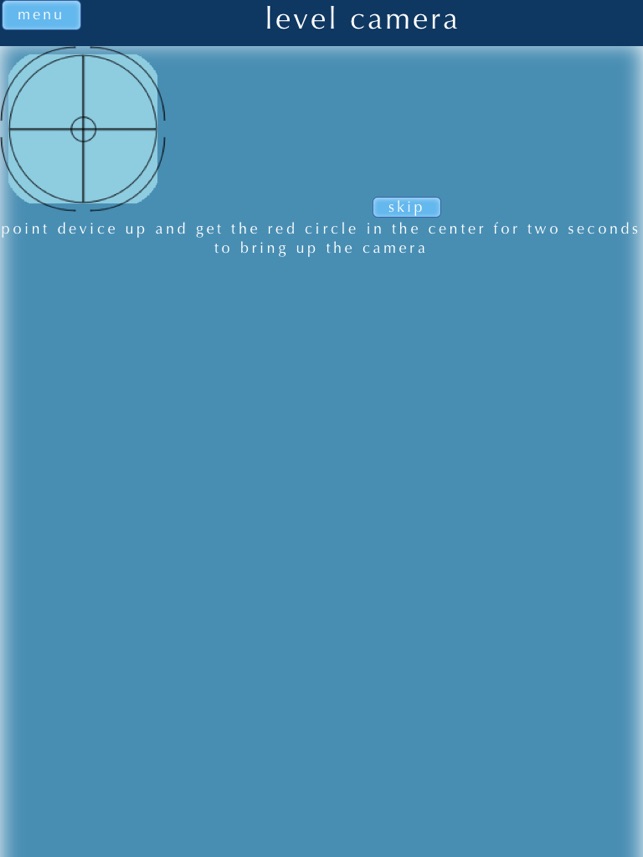
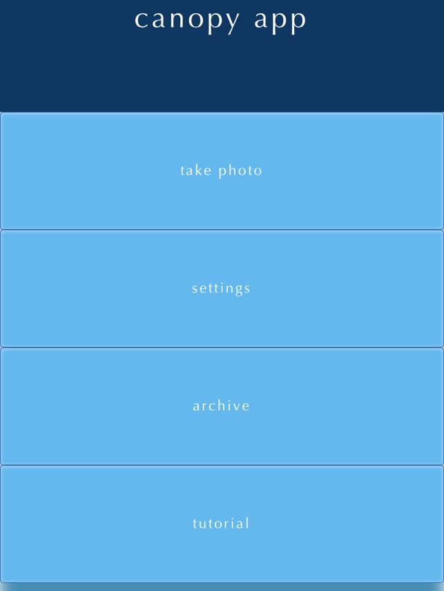
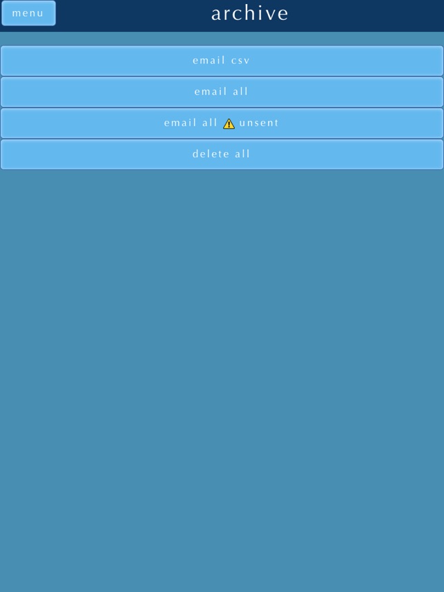
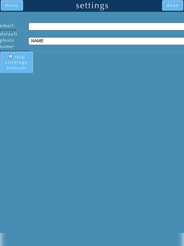
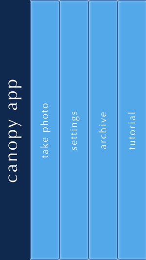
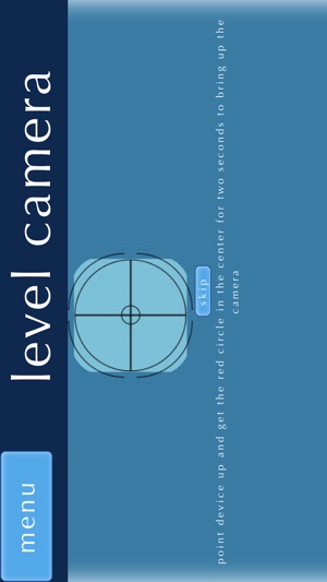
App Screenshots
Detailed Description
Functionality & Mechanism
CanopyApp is an environmental analysis tool designed to quantify forest canopy cover. The system leverages a device's internal gyroscope to ensure photographic images are captured parallel to the ground, standardizing data collection. The interface requires users to manually classify canopy elements and sky by selecting pixels corresponding to leaf color. This classification process computes a percentage of canopy closure, providing a digital alternative to traditional densiometer measurements for field-based ecological assessments.
Evidence & Research Context
- A comparative study assessed the reliability of mobile applications, including CanopyApp, against traditional densiometer readings for quantifying canopy cover in Southern Appalachian bogs.
- The app has been utilized as a field data collection tool in ecological research, including studies assessing stream habitat integrity and its effects on insect biodiversity.
- The methodology is grounded in digital image processing and gyroscopic stabilization to provide an accessible, low-cost alternative to specialized forestry equipment.
Intended Use & Scope
This tool is designed for ecologists, land managers, researchers, and students for rapid, field-based estimation of canopy cover. Its primary utility is as an accessible digital densiometer. The system provides quantitative estimates, but it does not replace high-precision instruments for regulatory compliance or advanced research requiring sub-canopy structural data. Accuracy is dependent on user classification.
Studies & Publications
Peer-reviewed research associated with this app.
Heterogeneity in altered streams does not increase the richness of stream specialist species of Odonata in the Maranhense Cerrado
Veras et al. (2024) · Journal of Insect Conservation
Referenced in academic literature; no direct evaluation of the appComparing photographic and GIS-based applications for estimating canopy cover in southern Appalachian bogs
Landert et al. (2016) · National Conference on Undergraduate Research
Evaluation compared different measurement methods but results were inconclusive.
App Information
Developer
University of New HampshireCategory
Evidence Profile
Initial research evidence · Mixed findings
Platforms
Updated
Feb 2018
© 2025 University of New Hampshire
Tags
CanopyApp
Free