AgriTools
Expert-developed at a leading university
App Summary
App Screenshots

Detailed Description
Functionality & Mechanism
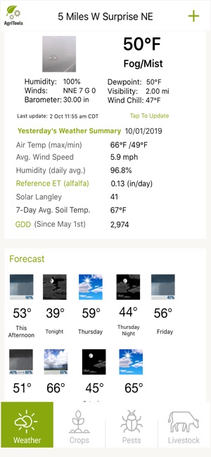
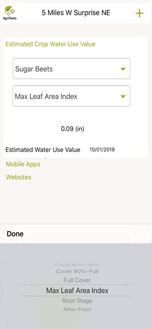
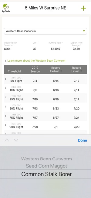
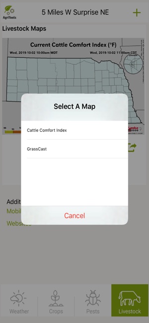
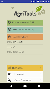
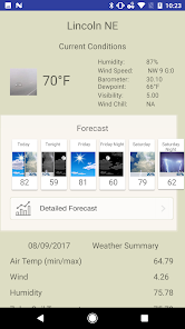
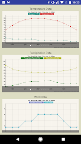
AgriTools is a mobile decision-support tool developed by University of Nebraska Extension. The application aggregates location-specific climate and weather data from multiple sources, including the High Plains Regional Climate Center and the Nebraska Mesonet. Its interface presents recent data and forecasts for user-selected locations, detailing variables like soil moisture, growing degree days, and evapotranspiration. The tool also streamlines access to a suite of other university-developed agricultural applications and decision-aid tools for producers in Nebraska.
Development & Context
- Developed by University of Nebraska Extension, the tool aims to support producers in making data-informed management decisions.
- It addresses the need for accessible agricultural weather data by consolidating information from several regional climate centers into a single mobile interface.
- The app functions as a portal to other university resources, including calculators for irrigation efficiency and pesticide recordkeeping.
- It also integrates decision aids, such as a feature for calculating estimated crop water use directly from a mobile device.
Intended Use & Scope
AgriTools is designed for agricultural producers seeking location-specific climate data to support operational planning. It functions as a rapid-response resource for field-level information on critical weather and soil variables. The data and integrated calculators are intended for informational purposes; this coverage does not constitute a validation of the tool's outcomes in agricultural management.
App Information
Developer
University of Nebraska-LincolnCategory
Evidence Profile
Expert-developed at a leading university
Platforms
Updated
Apr 2021
© 2025 University of Nebraska-Lincoln