ALIGN ATL
Published in academic literature
App Summary
App Screenshots
Detailed Description
Functionality & Mechanism
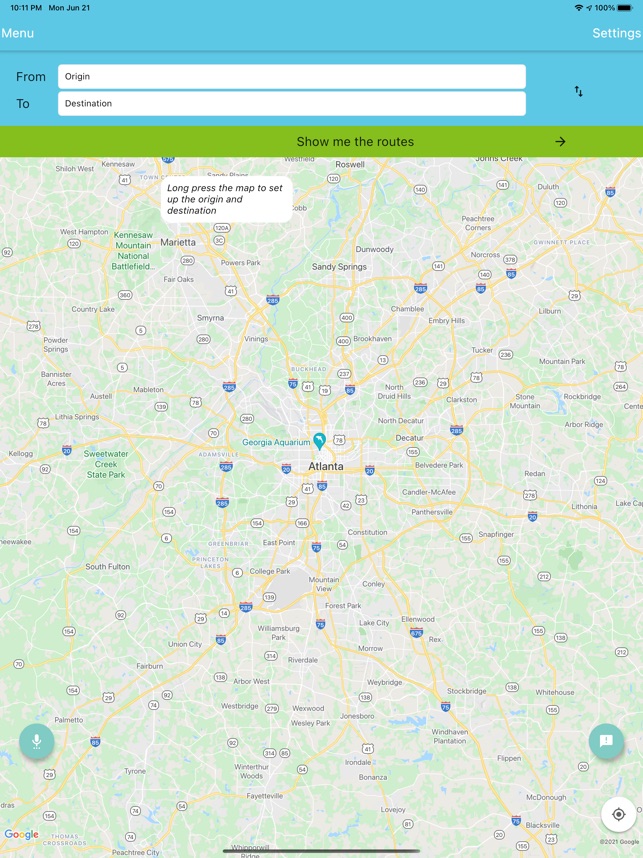
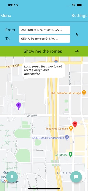
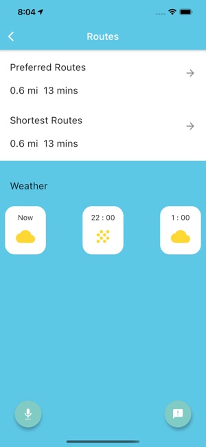
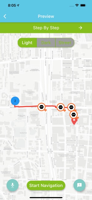
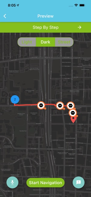
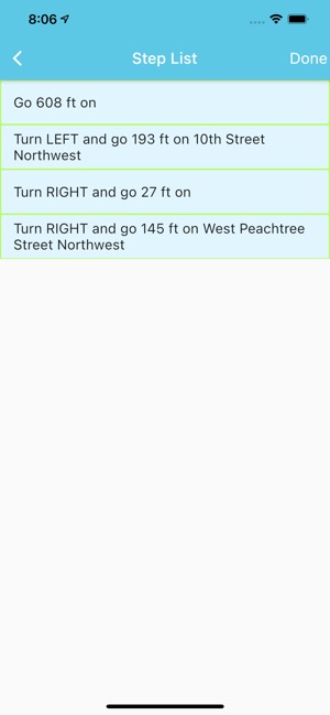
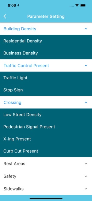
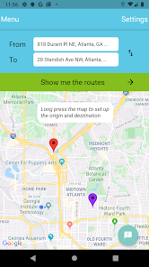
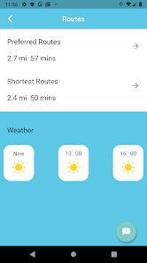
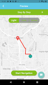
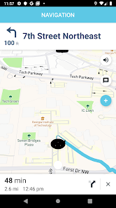
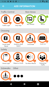
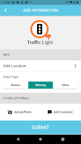
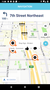
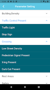
ALIGN ATL is a pedestrian navigation system that generates routes optimized for individual user needs in Atlanta. The interface facilitates the selection of up to five essential and unlimited secondary parameters, including sidewalk availability, audible crossing signals, street lighting, and crime rates. The system then calculates a route that minimizes conflicts based on these inputs. Turn-by-turn navigation is provided, which includes notifications of potential obstacles and access to street-level imagery for route preview and verification.
Evidence & Research Context
- The associated research describes the system as a tool to mitigate mobility challenges posed by outdoor environmental barriers, particularly for individuals with disabilities.
- The platform leverages real-time or near real-time geospatial data to generate routes that are intelligently tailored to an individual's specified needs and abilities.
- A primary design objective is the creation of a user behavior repository to inform urban policy and assist city planners in prioritizing community mobility improvement projects.
Intended Use & Scope
This system is intended for the general public, especially older adults and individuals with mobility or visual impairments, as an advanced pedestrian route planning tool. It also functions as a data collection platform for urban planning research. The application provides navigational workarounds for existing infrastructure barriers but does not replace the need for physical accessibility improvements. Users should always exercise independent judgment regarding personal safety.
Studies & Publications
Peer-reviewed research associated with this app.
Application for Locational Intelligence and Geospatial Navigation (ALIGN): Smart Navigation Tool for Generating Routes That Meet Individual Preferences
Zhang et al. (2021) · Urban Informatics and Future Cities
Describes the research-driven development of this appApp Information
Developer
Georgia TechCategory
Evidence Profile
Published in academic literature
Platforms
Updated
Jul 2021
© 2025 Georgia Tech