Crop Water
Published in academic literature
App Summary
App Screenshots
Detailed Description
Functionality & Mechanism
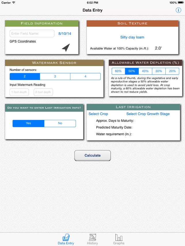
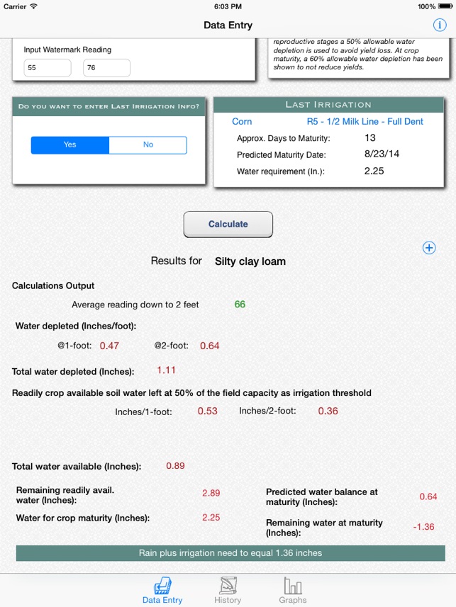
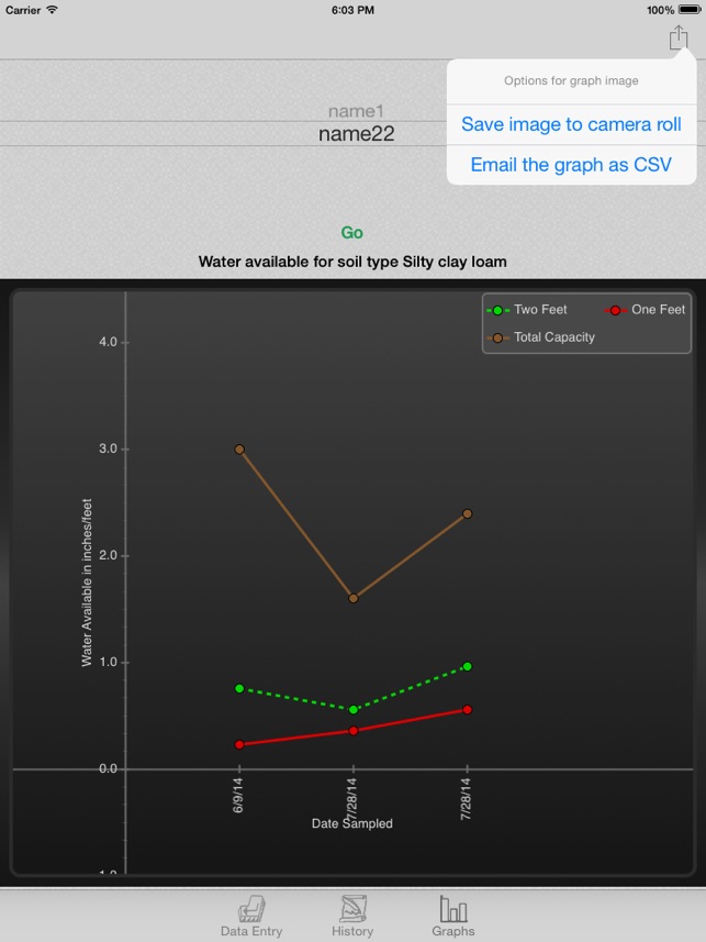
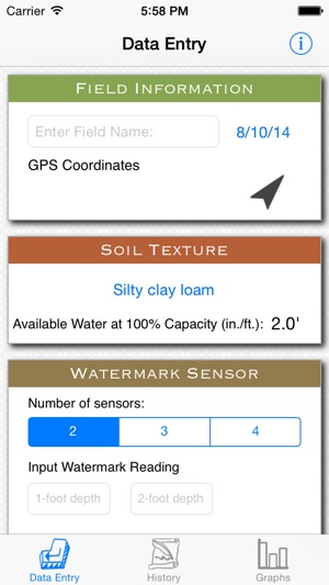
Developed at the University of Nebraska-Lincoln, Crop Water is an agricultural decision-support tool that automates the estimation of soil water status. The system processes user-input field parameters—including GPS location, soil texture, and sensor depth—alongside raw data from Watermark Granular Matrix sensors. It leverages soil water retention curves and calibration data to convert sensor readings into volumetric water depletion estimates. The interface displays historical moisture trends and calculates remaining available water, facilitating optimized irrigation scheduling decisions.
Evidence & Research Context
- The app's design and decision logic are based on a foundational University of Nebraska-Lincoln extension circular detailing the operational principles of soil water measurement.
- Its core algorithm automates the conversion of soil matric potential data from Watermark sensors into actionable volumetric water depletion estimates for specific Nebraska soil textures.
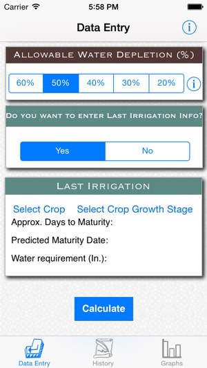
- The system digitizes established "Irrigation Trigger Point" tables, providing automated alerts when water depletion exceeds allowable 35–50% thresholds.
- A "Last Irrigation" prediction feature integrates crop phenological data to calculate the water volume required to reach crop maturity without over-irrigation.
Intended Use & Scope
This application is designed for agricultural producers and water management professionals as a decision-support tool for optimizing irrigation schedules. It provides automated interpretation of field sensor data to enhance water use efficiency. The system's accuracy is contingent on properly installed and calibrated sensors and its models are based on Nebraska soil data. It does not replace professional agronomic consultation.
Studies & Publications
Peer-reviewed research associated with this app.
Principles and Operational Characteristics of Watermark Granular Matrix Sensor to Measure Soil Water Status and Its Practical Applications for Irrigation Management in Various Soil Textures
Irmak et al. (2016) · University of Nebraska-Lincoln Extension
Referenced in academic literature; no direct evaluation of the appIn the Media
CropWater App for Irrigation Management
The Nebraska Agricultural Water Management Network (NAWMN) developed CropWater to enhance irrigation management decisions, using algorithms and procedures researched by Dr. Suat Irmak that convert soil matric potential sensor readings into actionable water status data. The app operates based on measured field-specific data rather than simulation, estimating crop water use and remaining soil water across eight different soil types at depths up to four feet. CropWater represents one of the earliest irrigation management apps and allows users to make accurate, technology-based irrigation decisions using real-time sensor data.
Using the Crop Water App with Watermark Sensors
Nebraska Extension developed Crop Water to help producers using Watermark soil moisture sensors optimize irrigation scheduling, utilizing GPS technology to input sensor coordinates and calculate water depletion percentages. The app calculates total water available and depleted based on soil texture and sensor readings, with irrigators using older systems or on electric load control recommended to select "30% or 40% depletion as a target" compared to the standard 50%. The newest feature predicts the last irrigation by allowing users to enter crop and growth stage information to determine maturity date and remaining water needs.
Crop Water Use App Developed for Nebraska Soils
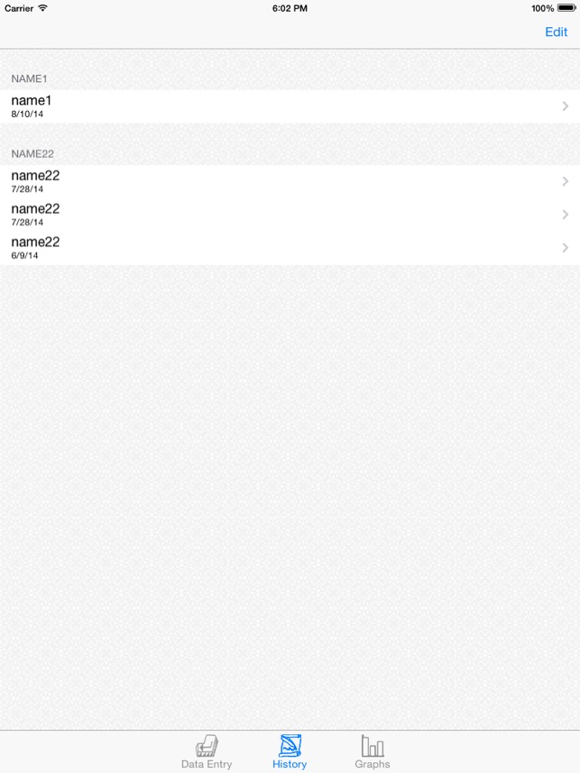
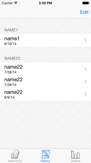
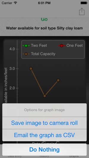
UNL Extension developed Crop Water to estimate soil water status for Nebraska farmers, using Watermark sensors installed at depths of 1, 2, and 3 feet. The app estimates water used and remaining soil water availability while allowing users to view historic sensor readings and graph the data. UNL created the iPhone and iPad app specifically at the request of Nebraska Agricultural Water Management Network participants.
App Information
Developer
University of Nebraska-LincolnCategory
Evidence Profile
Published in academic literature
Platforms
Updated
Jun 2015
© 2025 University of Nebraska-Lincoln
Tags
Crop Water
Free