GrassSnap
Published in academic literature
App Summary
App Screenshots
Detailed Description
Functionality & Mechanism
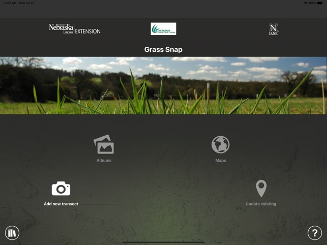
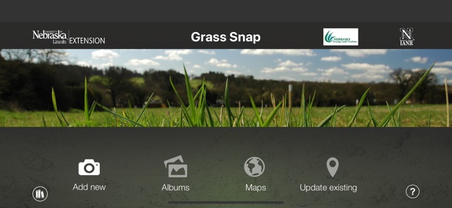
GrassSnap is a mobile data collection system designed for standardized, repeatable photo-monitoring of rangeland environments. The interface leverages a "ghost image" overlay, which enables precise replication of landscape views during longitudinal data collection. A monitoring session captures and automatically embeds metadata—including GPS location, date, and user-inputted site names—directly onto each photograph. The app organizes image data with associated comments for streamlined transfer and subsequent analysis on an external computer, facilitating long-term ecological assessment.
Evidence & Research Context
- The system digitizes established photo-monitoring principles, which associated research describes as an effective technique for observing short- and long-term changes in pasture and rangeland ecology.
- Photo-documentation is cited in the literature as a tool to evaluate progress toward resource management objectives in a visually accessible and verifiable format.
- The scientific context emphasizes that the full potential of photographic data is realized when supplemented with concurrent information, such as plant composition and weather data.
- The app is a designated tool for participants in the Nebraska NRCS Conservation Stewardship Program (CSP) grazing management enhancement (PLT02).
Intended Use & Scope
This system is designed for rangeland managers, agricultural producers, and ecologists for the purpose of longitudinal environmental documentation. Its primary utility is the systematic collection of standardized visual data to track landscape changes over time. The app does not perform ecological analysis or interpretation; collected data requires external evaluation as part of a comprehensive resource management strategy.
Studies & Publications
Peer-reviewed research associated with this app.
Getting to Know Your Pastures: Techniques to Enhance Monitoring
Johnston et al. (2013) · University of Nebraska-Lincoln Extension
Referenced in academic literature; no direct evaluation of the appIn the Media
New app helps producers keep tabs on pastures
University of Nebraska-Lincoln Extension developed GrassSnap to help ranchers monitor pasture conditions more easily, using a mobile app that stamps photographs with pasture names, GPS locations, dates and directions while storing data in organized folders. Extension educator Bethany Johnston explains that "photo-point and photo-plot monitoring is one of the easier, more repeatable ways to get qualitative info about how pasture looks right now." The free app is available for both Apple and Android devices thanks to support from the Nebraska Grazing Lands Coalition.
Monitoring Pasture Condition? UNL Extension Has An App for That
University of Nebraska-Lincoln Extension developed GrassSnap to help ranchers monitor pasture conditions more effectively, using a mobile application that guides users through monitoring steps and automatically stamps photographs with pasture names, GPS locations, dates and directions. "Photo-point and photo-plot monitoring is one of the easier, more repeatable ways to get qualitative info about how pasture looks right now," said UNL Extension educator Bethany Johnston. The app launched in July 2014 as a free download for Apple and Android devices, supported by the Nebraska Grazing Lands Coalition.
GrassSnap App, Mobile app monitors pastures with photos
The University of Nebraska-Lincoln developed GrassSnap to help producers monitor pasture conditions through photo documentation, replacing the confusing process of using datasheets, cameras and GPS units separately. "We found it was hard and kind of confusing to monitor grasslands with datasheets, cameras and GPS units, so we developed an app to help make it a whole lot easier when monitoring these grasslands in the future," said Bethany Johnston, UNL Extension educator. The app became available in early June 2014 for both Android and Apple devices through major app stores.
App Information
Developer
University of Nebraska-LincolnCategory
Evidence Profile
Published in academic literature
Platforms
Updated
Apr 2020
© 2025 University of Nebraska-Lincoln