SCL Go
Published in academic literature
App Summary
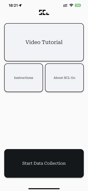
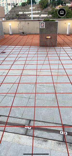
App Screenshots
Detailed Description
Functionality & Mechanism
SCL Go, developed by the MIT Senseable City Lab, is an augmented reality application for crowdsourced data collection on sidewalk accessibility. The system facilitates rapid mapping by enabling participants to capture smartphone imagery of pedestrian pathways. This visual data is processed by the associated Sidewalk AI platform, which leverages dedicated algorithms to automatically identify and classify key features, including sidewalk width, surface conditions, and the presence of obstacles, thereby generating large-scale, city-level datasets.
Evidence & Research Context
- The system's design is detailed in a research article on participatory urban planning, outlining a method to overcome the cost and time limitations of manual sidewalk assessments.
- The approach integrates crowdsourced smartphone imagery with Visual AI algorithms to automate the identification of sidewalk accessibility features.
- This participatory methodology is presented as a highly scalable strategy for creating comprehensive urban datasets.
- The associated research positions this technique as a supplement to, not a replacement for, high-resolution sensing methods.
Intended Use & Scope
This application is intended for urban planners, researchers, and citizen scientists as a data collection tool for evaluating sidewalk accessibility at scale. Its primary utility is generating large datasets to inform urban planning and inclusivity initiatives. The system supplements, but does not replace, official accessibility audits or professional-grade sensing technologies.
Studies & Publications
Peer-reviewed research associated with this app.
Mapping sidewalk accessibility with smartphone imagery and Visual AI: a participatory approach
Morra et al. (2024) · Philosophical Transactions of the Royal Society A
Describes the research-driven development of this appApp Information
Category
Evidence Profile
Published in academic literature
Platforms
Updated
Mar 2024
© 2025 Massachusetts Institute of Technology
Tags
Developer Links
Privacy PolicySCL Go
Free