Colorado Wetlands Mobile App
Published in academic literature
App Summary
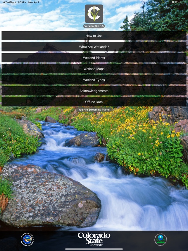
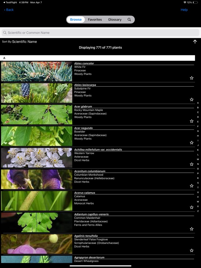
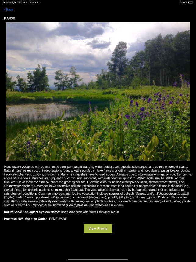
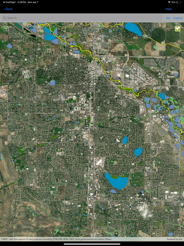
App Screenshots
Detailed Description
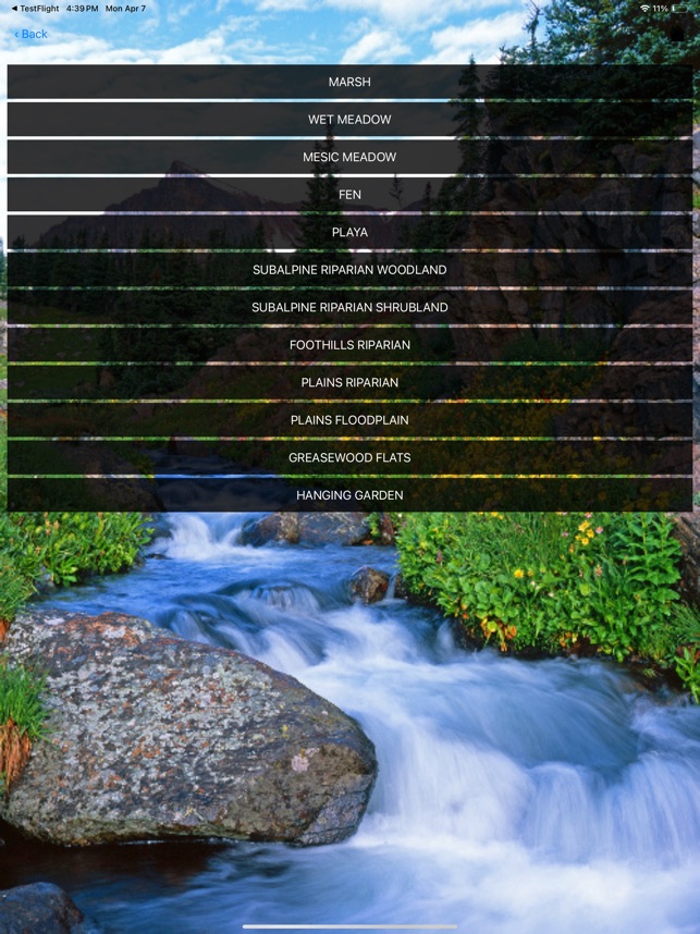
Functionality & Mechanism
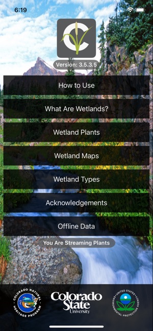
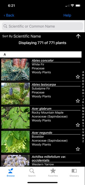
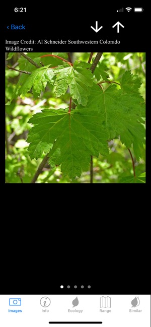
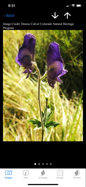
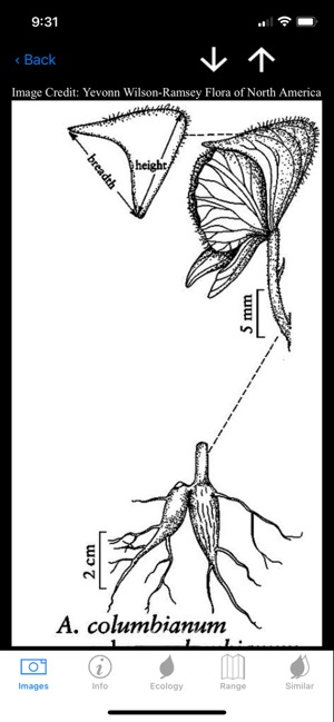
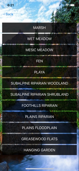
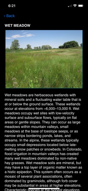
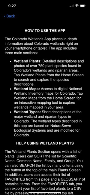
Developed by the Colorado Natural Heritage Program at Colorado State University, this application functions as a mobile field reference. The system's interface is organized into three primary modules: Wetland Plants, Wetland Maps, and Wetland Types. Sessions involve navigating a database of 710 plant species with detailed descriptions and photographic aids, searchable by multiple criteria. The mapping module integrates National Wetland Inventory (NWI) data, leveraging device location services to display local mapped wetlands and associated flora.
Evidence & Research Context
- The application was developed by the Colorado Natural Heritage Program with support from a U.S. Environmental Protection Agency (EPA) Wetland Program Development Grant.
- Botanical content, including species descriptions and identification keys, is adapted from two peer-reviewed CNHP publications: Field Guide to Colorado's Wetland Plants and Common Wetland Plants of Colorado's Eastern Plains.
- The interactive mapping component integrates official National Wetland Inventory (NWI) geospatial data produced in partnership with the U.S. Fish and Wildlife Service.
- Its ecological classifications are based on the NatureServe Ecological Systems framework, a standardized typology adapted specifically for Colorado's wetland and riparian environments.
Intended Use & Scope
This tool is designed for environmental professionals, researchers, educators, and the general public engaged in the study of Colorado's wetlands. Its primary utility is for in-field plant identification and exploration of mapped wetland areas. The application is a reference guide and does not constitute a legal tool for official wetland delineation, which requires professional field assessment.
Studies & Publications
Peer-reviewed research associated with this app.
Colorado Wetlands Mobile App: A User's Guide
Lemly et al. (2015) · Colorado Natural Heritage Program
Describes the research-driven development of this appApp Information
Developer
Colorado State UniversityCategory
Evidence Profile
Published in academic literature
Platforms
Updated
Apr 2025
© 2025 Colorado State University
Tags
Developer Links
Privacy PolicyColorado Wetlands Mobile App
Free