DISCS - Drought Information
Published in academic literature
App Summary
App Screenshots
Detailed Description
Functionality & Mechanism
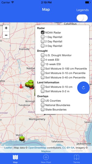
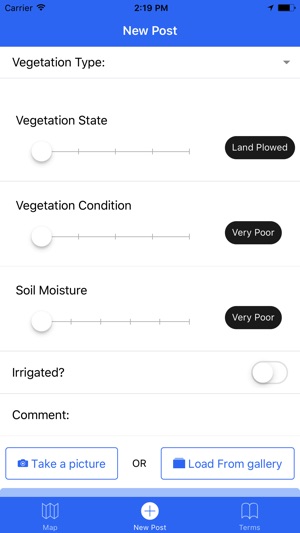
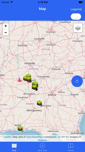
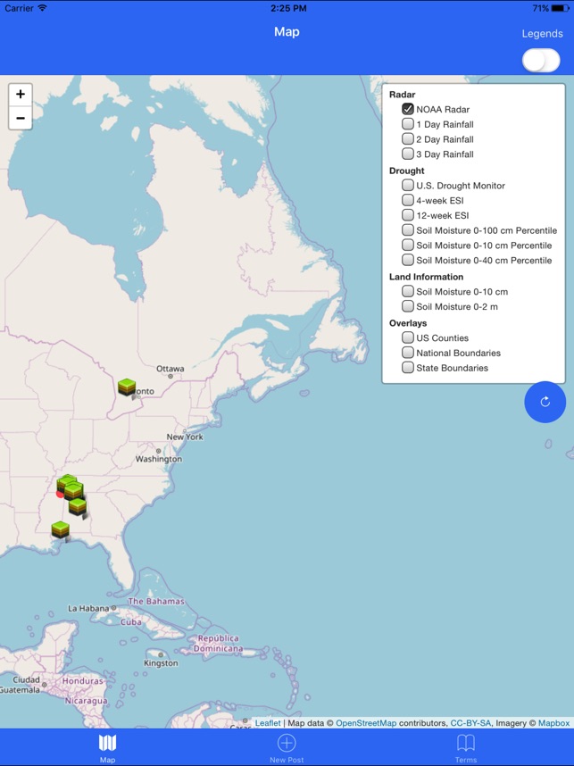
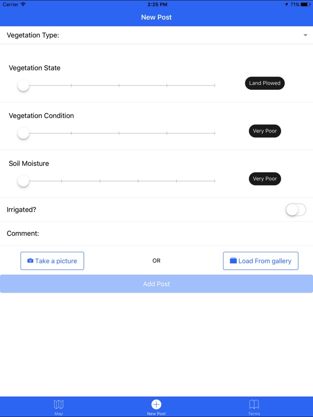
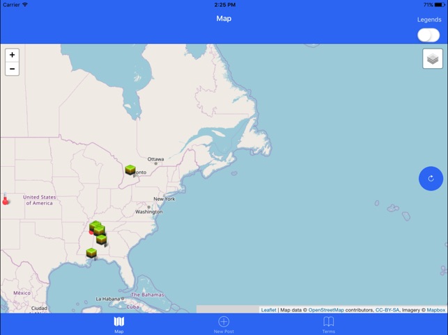
Developed at NASA's Marshall Space Flight Center, the DISCS system facilitates a bidirectional exchange of drought-related information. Citizen scientists submit geolocated reports that include crop type, vegetation condition, soil moisture observations, and photographic evidence. The interface integrates these ground-truth observations with satellite-derived data products for user viewing. These products include U.S. Drought Monitor maps, NOAA rainfall data, and NASA soil moisture and vegetation health models, contextualizing user submissions within a broader scientific framework.
Evidence & Research Context
- The system was developed by NASA to address the critical need for ground-truth observations to validate satellite-based remote sensing data for drought monitoring.
- Associated research details its function as a tool for bidirectional information exchange between the scientific community and agricultural stakeholders.
- The project's stated aim is to enhance the accuracy of national drought assessments by integrating localized citizen science data with large-scale environmental models.
Intended Use & Scope
The system is designed for citizen scientists, agricultural stakeholders, and weather enthusiasts to contribute to and access drought monitoring data. Its primary utility is as a research-grade data collection tool and an informational resource. The app is not a predictive agricultural tool or a substitute for professional farm management and advisory services.
Studies & Publications
Peer-reviewed research associated with this app.
Drought Information Supported by Citizen Scientists (DISCS) (AMS Annual Meeting 2018)
Molthan et al. (2018) · NASA Technical Reports Server
Describes the research-driven development of this appApp Information
© 2025 NASA
Tags
DISCS - Drought Information
Free