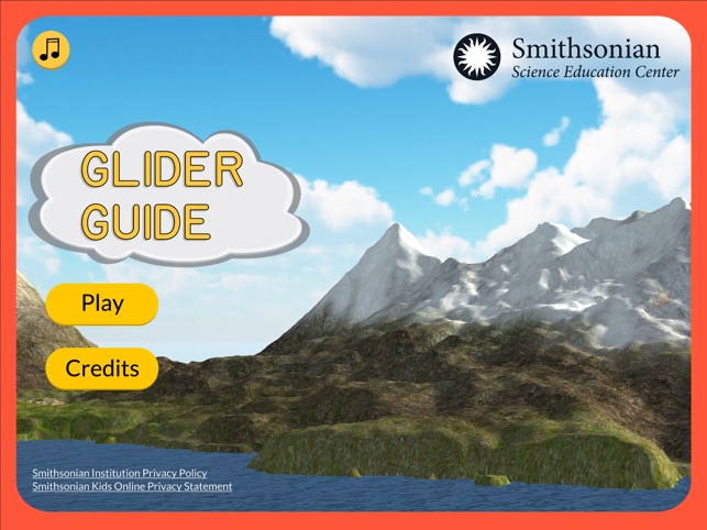
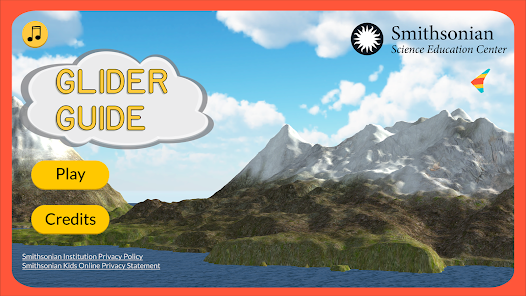
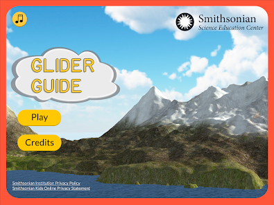
Glider Guide
Expert-developed at a research institution
App Summary
App Screenshots


Detailed Description
Functionality & Mechanism
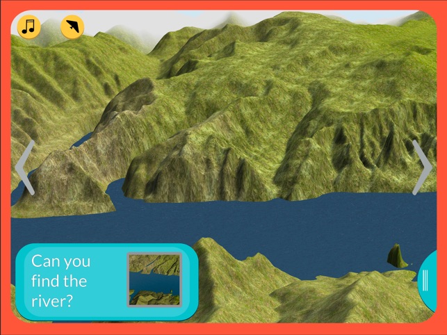
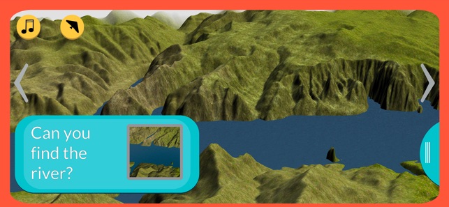
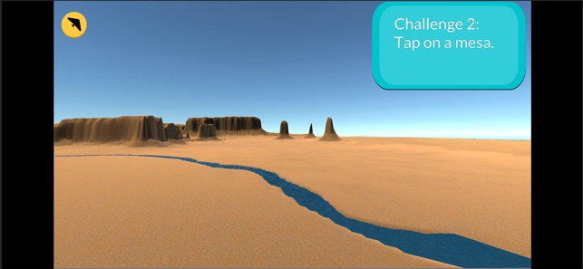
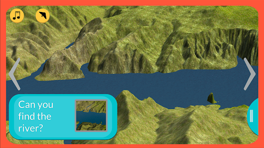
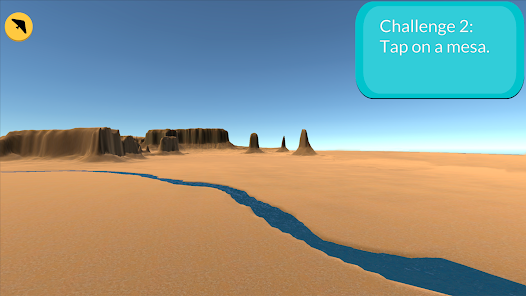
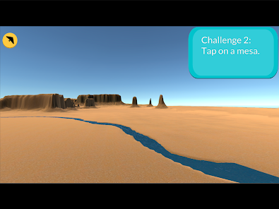
This educational simulation tool immerses users in virtual U.S. landscapes to teach geography. The platform simulates flight over five real-world terrains, facilitating the observation of eleven distinct land and water features like mesas and plains. Its interface allows users to alternate between first-person and top-down views for comprehensive exploration. An integrated assessment follows each flight, allowing users to test their knowledge of the geographical features they have observed.
Development & Context
- The news coverage notes the application features simulations of five distinct real-world terrains located within the United States.
- Its curriculum is designed around the visual identification of eleven different types of land and water features.
- An in-game assessment module is included to test user knowledge following each simulated flight.
- The tool is accessible on desktop computers via a website and on mobile devices through major app stores.
Intended Use & Scope
Glider Guide is designed as an educational support tool for individuals learning about U.S. geography and landforms. Its scope is limited to the visual identification of eleven features across five specific terrains. Information on the app's features is based on promotional materials and news coverage, not on peer-reviewed educational research.
App Information
Developer
Smithsonian InstitutionCategory
Evidence Profile
Expert-developed at a research institution
Platforms
Updated
Feb 2020
© 2025 Smithsonian Institution