GLOBE Data Entry
Published in academic literature
App Summary
App Screenshots
Detailed Description
Functionality & Mechanism
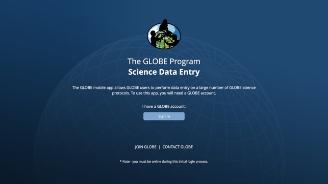
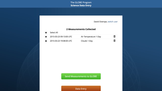
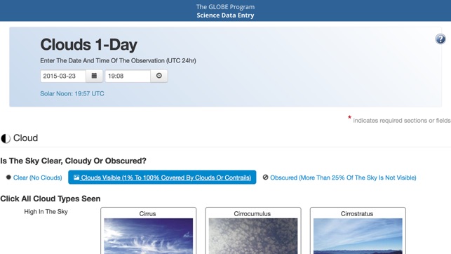
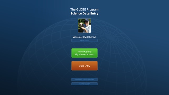
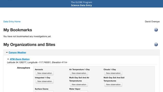
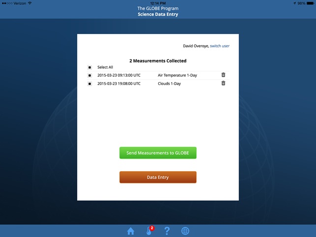
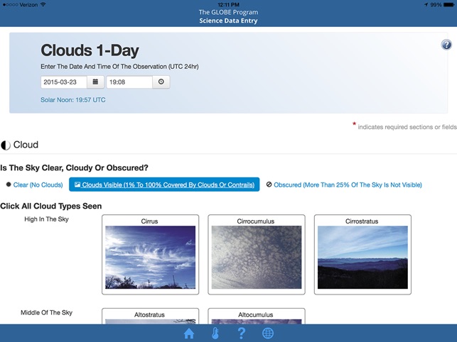
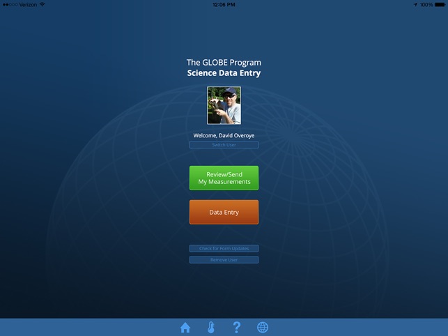
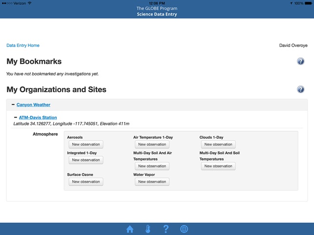
Developed for the NASA-sponsored GLOBE Program, this application is a mobile data entry tool for registered participants. The interface facilitates in-field data capture for any of the program's standardized environmental monitoring protocols. The system leverages the device's native GPS and camera to georeference observations and document sites. Sessions involve an initial download of protocol forms, enabling offline data collection. The user can subsequently review, edit, and upload recorded measurements to the global GLOBE database upon re-establishing an internet connection.
Evidence & Research Context
- A technical report documents that the GLOBE Program's mobile app ecosystem substantially increased the spatial extent and sampling density of environmental measurements, contributing over 320,000 observations from 38,000 participants in a three-year period.
- Data collected through the program's mobile application have been utilized in published research to validate continental-scale canopy height maps derived from satellite missions, including ICESat-2 and GEDI.
- A validation study using these data noted low general agreement with airborne lidar reference heights (R²=0.14), attributing the variance to geolocation inaccuracies and measurement inconsistencies inherent in citizen-collected data.
- The same research indicated that data filtering for higher geolocation accuracy modestly improved correlations (up to R²=0.22), underscoring the need for strict protocol adherence and post-processing for certain research applications.
Intended Use & Scope
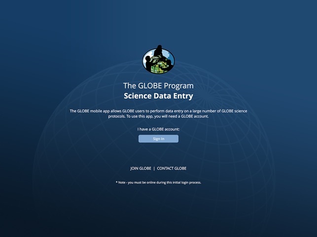
This application is intended for use by registered students, educators, and citizen scientists participating in the GLOBE Program. It functions as a dedicated field instrument for contributing observations to a global environmental database. The application does not perform data analysis. The scientific utility of submitted data is contingent on protocol adherence, and as published research indicates, may require subsequent filtering for specific research applications.
Studies & Publications
Peer-reviewed research associated with this app.
Use of GLOBE Observer Citizen Science Data to Validate Continental-Scale Canopy Height Maps Derived from ICESat-2 and GEDI
Lu et al. (2025) · Frontiers in Environmental Science
Referenced in academic literature; no direct evaluation of the appGLOBE Observer Data: 2016‐2019
Amos et al. (2020) · Earth and Space Science
Referenced in academic literature; no direct evaluation of the appIn the Media
NASA GLOBE Program Celebrates 30th Anniversary
NASA and EDC developed the GLOBE Data Entry app as part of a 30-year citizen-science program that advances understanding of Earth through shared data collection and analysis. The program's open-source database now includes over a quarter billion data points used by research scientists and students worldwide, with participants from 127 countries submitting readings. "When GLOBE participants gather data, they contribute to our knowledge of the world around us, while developing career skills that prepare them for the future," says Rebecca Lewis, EDC director of the GLOBE Implementation Office.
GLOBE Observer App Puts the Power of Citizen Science in a Smartphone
NASA and the Global Learning and Observations to Benefit the Environment (GLOBE) program released the GLOBE Observer App in August to encourage public environmental observations that complement NASA satellite data. According to Sarah McCrea, an educational outreach coordinator at NASA's Langley Research Center, "GLOBE Observer allows anyone to submit observations through an easy-to-use smart phone app" with protocols requiring minimal instrumentation beyond the user's phone. The app currently features a Cloud Protocol for photographing and observing clouds, which cover more than 60 percent of Earth at all times according to NASA scientists.
Data Entry - GLOBE.gov
GLOBE developed the GLOBE Data Entry app to enable users to contribute measurement data to worldwide scientific research databases, offering multiple entry methods to accommodate different user preferences. The organization specifically advises users to "replace any liquid-filled thermometers with digital models" due to issues with float demagnetization in U-tube thermometers when recording temperature data. The app supports global scientific discovery by allowing students and researchers to easily submit environmental observations.
App Information
© 2025 NASA
Tags
GLOBE Data Entry
Free