GLOBE Observer
Published in academic literature
App Summary
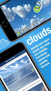
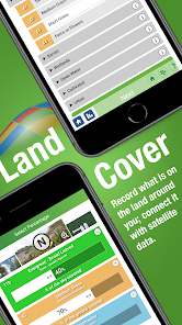
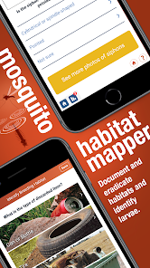
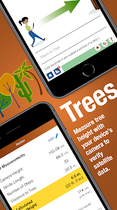
App Screenshots


Detailed Description
Functionality & Mechanism
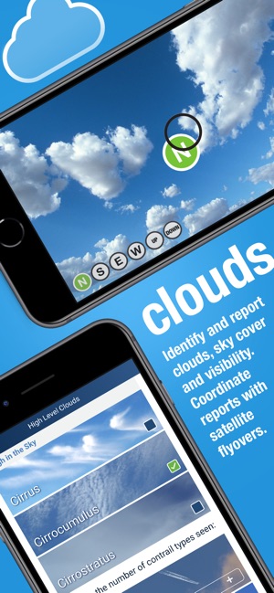
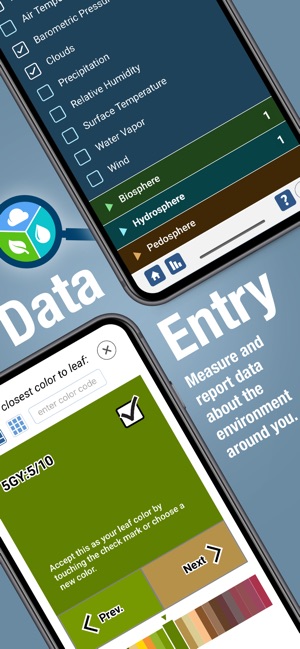
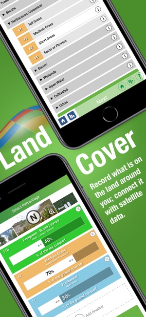
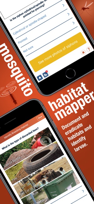
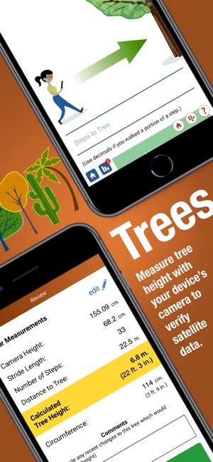
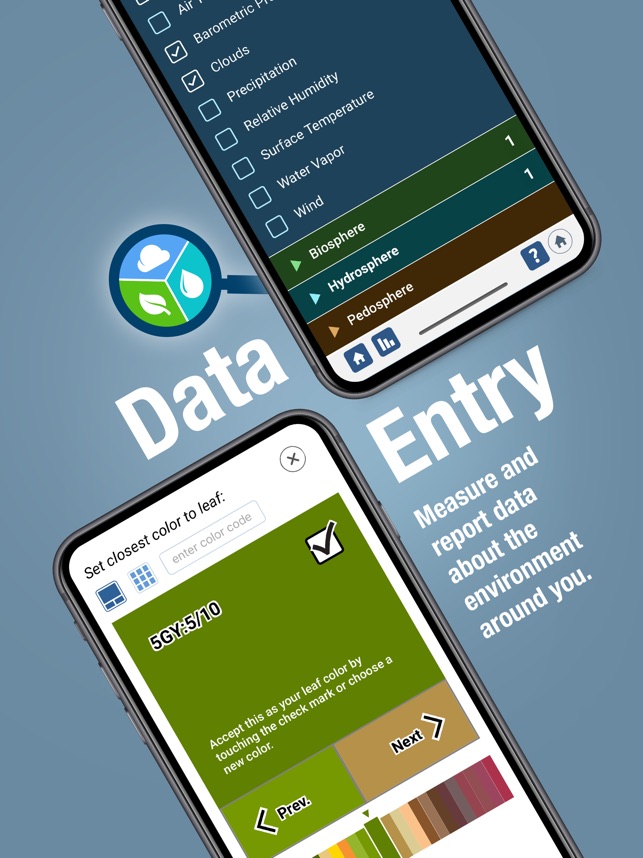
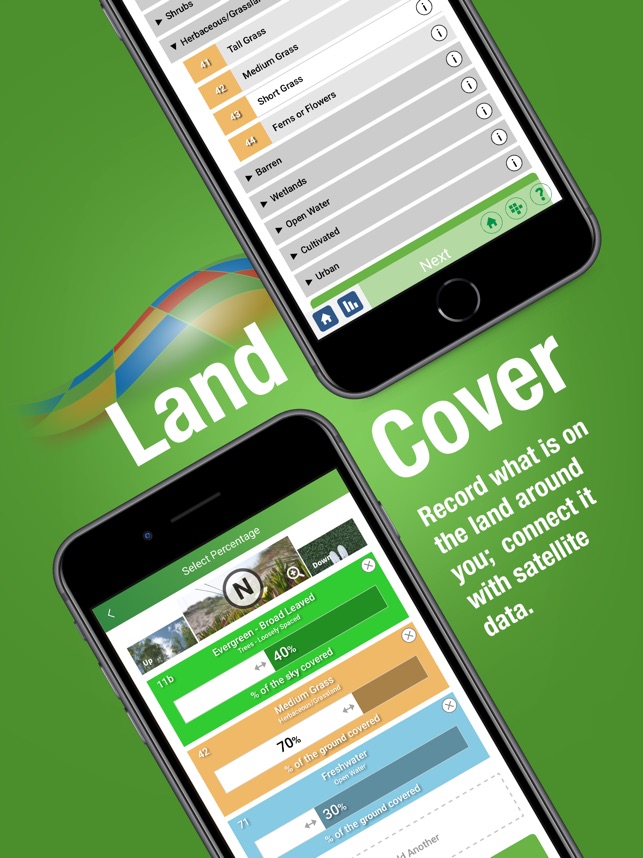
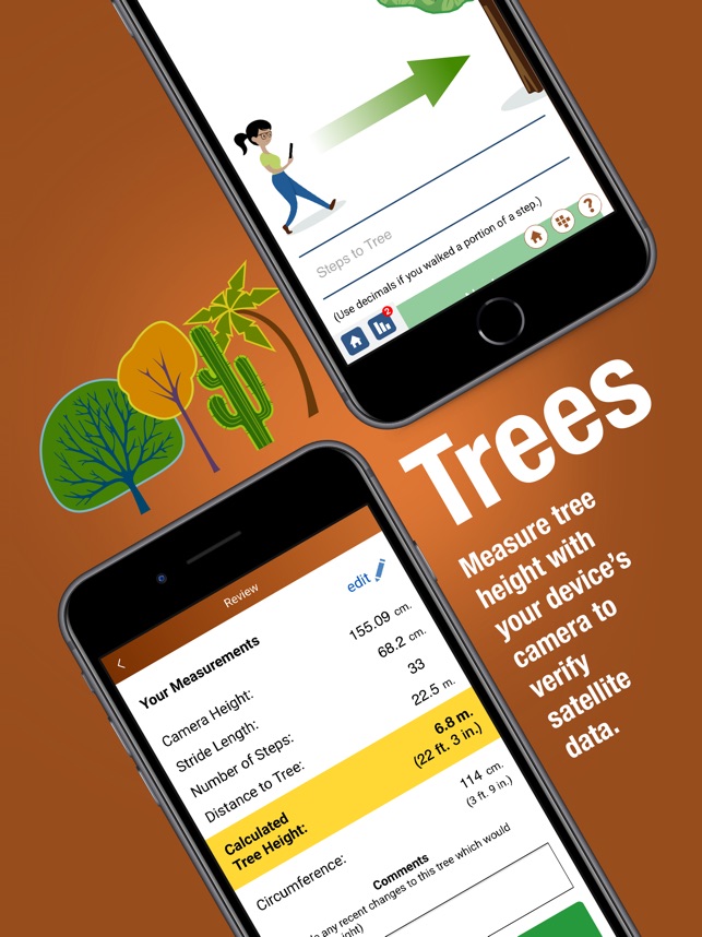
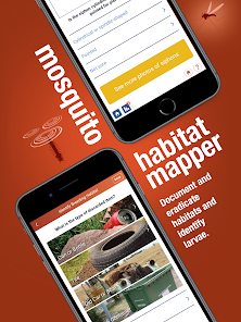
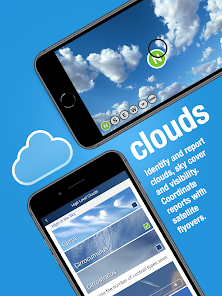
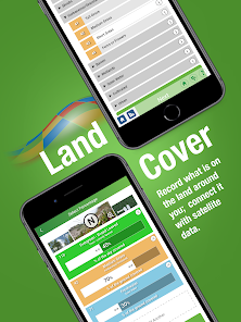
Developed by the Global Learning and Observations to Benefit the Environment (GLOBE) Program, this application facilitates citizen science data collection on environmental conditions. The interface provides distinct protocols for observing clouds, mosquito habitats, land cover, and tree height. Users are guided through structured data entry sessions, capturing photographic and quantitative measurements. The system submits this data for use by international research institutions, including NASA and NOAA, to augment satellite-based Earth observation datasets.
Evidence & Research Context
- Associated research details the integration of artificial intelligence (AI) to support data processing, including automated classification of mosquito larvae and land cover imagery.
- The app has been utilized as a data collection tool to validate satellite-derived canopy height maps from ICESat-2 and GEDI datasets.
- A study using the app's tree height data found low correlation with airborne lidar reference data (R² = 0.14), underscoring challenges with geolocation and measurement inconsistencies inherent in crowdsourced data.
- AI-powered data classification and filtering routines are being developed to improve data fidelity and position the citizen-collected data for broader environmental and health research.
Intended Use & Scope
The application is designed for the general public, including students and educators, participating in structured citizen science initiatives. Its primary utility is to crowdsource large-scale environmental data to support scientific research and educational outreach. The system is not intended for generating high-precision measurements; data requires expert validation and aggregation for use in formal scientific analysis.
Studies & Publications
Peer-reviewed research associated with this app.
Use of GLOBE Observer Citizen Science Data to Validate Continental-Scale Canopy Height Maps Derived from ICESat-2 and GEDI
Lu et al. (2025) · Frontiers in Environmental Science
Referenced in academic literature; no direct evaluation of the appGLOBE Observer: A Case Study in Advancing Earth System Knowledge with AI-Powered Citizen Science
Nelson et al. (2020) · Citizen Science: Theory and Practice
Describes the research-driven development of this appIn the Media
News - GLOBE Observer - GLOBE.gov
Texas A&M University scientists Mei-Kuei Lu and Sorin C. Popescu, along with GLOBE Observer Trees lead Brian Cambell, developed research analyzing GLOBE Observer Tree height data to validate satellite measurements from NASA's ICESat-2 and GEDI instruments. The researchers found that "GLOBE Observer location accuracy made it challenging to match Trees data to the satellite measurements" and recommend volunteers "refresh the location until the accuracy is under 25 meters." The scientists are requesting more tree height measurements from natural settings since much existing GLOBE Trees data comes from urban areas.
Become a NASA Response Mapper: Help Strengthen Hurricane Response from the Ground Up
NASA's Disasters Program developed GLOBE Observer to fill vital information gaps in hurricane response by enabling citizens to submit smartphone photos documenting land cover changes before and after storms. "We're exploring how citizen science can support disaster response in ways that Earth observation data alone can't," says Kristen Okorn, a center coordinator for the Disaster Response Coordination System. The collaboration between NASA's DRCS and the GLOBE Program launched the "NASA Response Mappers" campaign focusing on the Southeastern United States to help emergency managers make faster, better-informed decisions.
NASA GLOBE Program Celebrates 30th Anniversary
NASA developed GLOBE Observer as part of its 30-year Global Learning and Observations to Benefit the Environment Program to advance understanding of Earth through citizen-science data collection and analysis. The program's open-source database now includes over a quarter billion data points contributed by students and researchers from 127 countries. "When GLOBE participants gather data, they contribute to our knowledge of the world around us, while developing career skills that prepare them for the future," says Rebecca Lewis, EDC director of the GLOBE Implementation Office.
Watching Clouds for NASA
NASA's Global Learning and Observations to Benefit the Environment (GLOBE) Program developed GLOBE Observer to collect environmental data through citizen science, using a mobile app that allows anyone to contribute observations about clouds, mosquito habitats, land cover, and trees. "NASA has a responsibility for collecting data about our environment," said Jessica Taylor, atmospheric scientist at the NASA Langley Research Center, who demonstrated the app at the American Library Association's 2023 Annual Conference. The observations users contribute through simple smartphone photos combine with other data to produce rich datasets used in peer-reviewed research.
App Information
Developer
NASACategory
Evidence Profile
Published in academic literature
Platforms
Updated
Oct 2024
© 2025 NASA