MISIN: Report Invasive Species
Expert-developed at a leading university
App Summary
App Screenshots
Detailed Description
Functionality & Mechanism
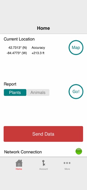
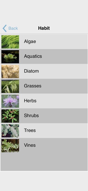
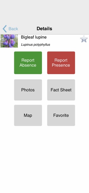
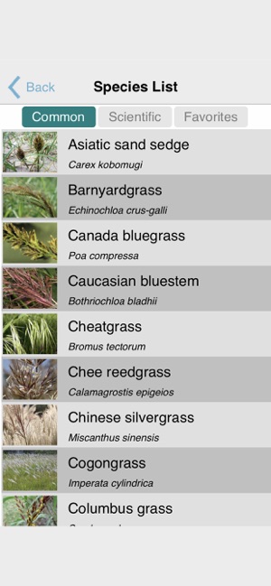
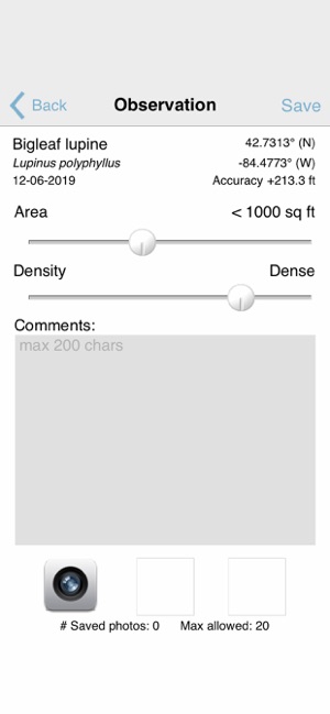
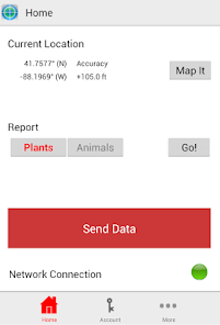
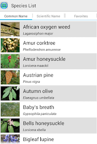
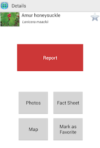
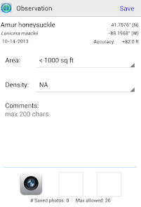
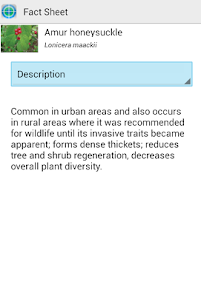
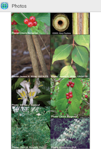
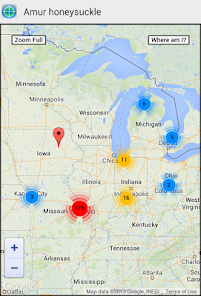
This citizen science platform, developed by Michigan State University's Applied Spatial Ecology and Technical Services Laboratory, streamlines the reporting of invasive species. The app's interface facilitates the capture and submission of field observations, including GPS coordinates and photos, directly from a mobile device. It integrates identification resources for over 400 species and leverages user-submitted data to generate real-time distribution maps, supporting regional monitoring efforts for land managers and the public.
Development & Context
- The Midwest Invasive Species Information Network (MISIN) was developed by researchers at Michigan State University as an early detection and rapid response (EDRR) resource.
- The platform focuses on tracking invasive terrestrial and aquatic species across thirteen Midwestern states, providing an up-to-date regional overview.
- In addition to reporting, the system offers species identification training modules and custom email alerts for new sightings in a user's area.
- A Michigan State University Extension guide for boaters integrates QR codes that link directly to the MISIN website for plant identification.
Intended Use & Scope
This app is intended for citizens, community scientists, and outdoor enthusiasts in the Midwest who can contribute to invasive species monitoring. It functions as a public data contribution tool to support early detection and rapid response initiatives led by land managers. Information provided through the app is based on aggregated user observations and news coverage.
In the Media
MISIN - Midwest Invasive Species Network
The Applied Spatial Ecology and Technical Services Laboratory at Michigan State University developed MISIN: Report Invasive Species to aid in the collection of Midwest invasive species observations in support of early detection and rapid response efforts. The app contributes data to a growing online database of invasive species observation data for the top invaders in the region, which land managers use to make informed decisions regarding the control and impact of invasive species.
Report invasive species quickly and easily and look good doing it!
Michigan State University's Applied Spatial Ecology and Technical Services Laboratory developed MISIN: Report Invasive Species to track invasive plants and animals across thirteen Midwestern states, using GPS coordinates and photo uploads to provide "an up-to-the-minute picture of what's happening on the front lines of the battle against invasive species." The app offers species identification training modules, in-depth species information, and custom email alerts for sightings in users' neighborhoods.
App Information
Developer
Michigan State UniversityCategory
Evidence Profile
Expert-developed at a leading university
Platforms
Updated
Aug 2024
© 2025 Michigan State University