Pacific Northwest Forests
Expert-developed at a federal agency
App Summary
App Screenshots


Detailed Description
Functionality & Mechanism
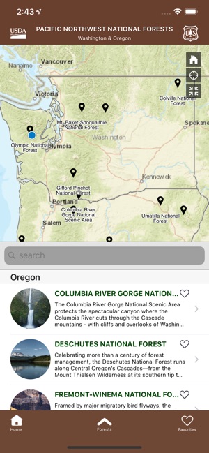
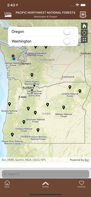
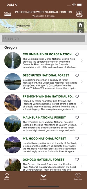
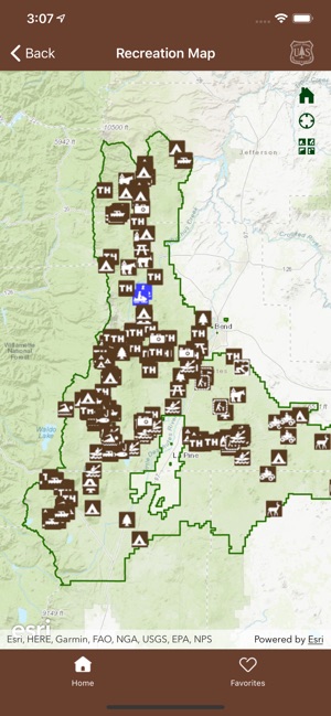
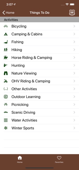
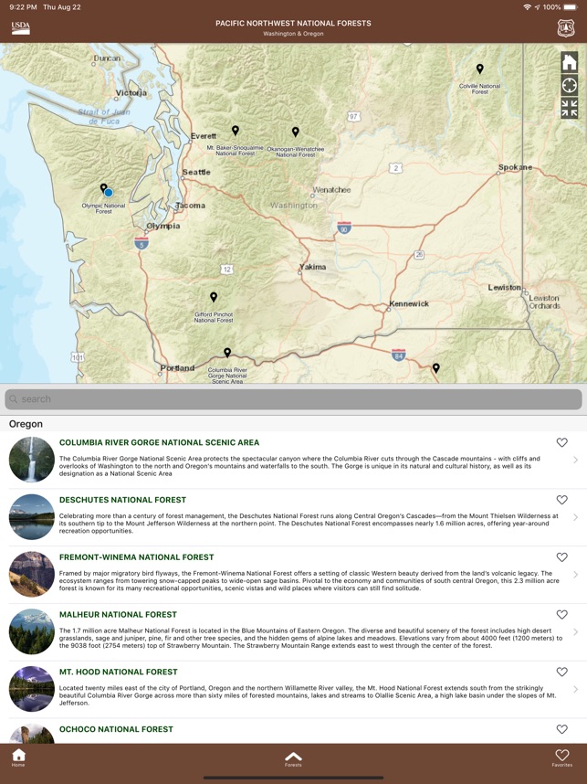
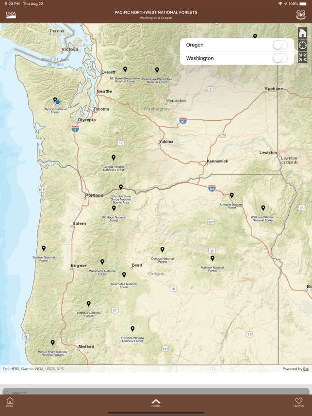
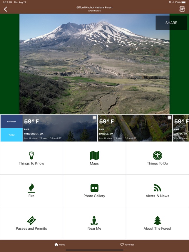
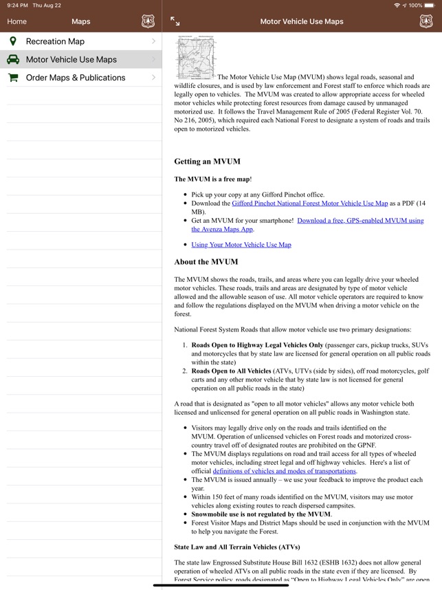
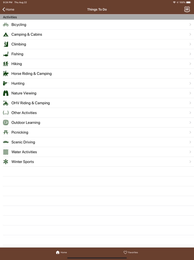
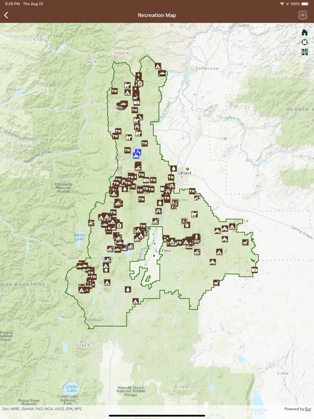
This cartographic guide, developed by the U.S. Forest Service, provides location-based information for recreational activities across 17 national forests in the Pacific Northwest. The system utilizes an interactive mapping interface to visualize sites for hiking, camping, skiing, and other outdoor pursuits. Users can query the database by activity type or browse opportunities within a specific forest region. The platform aggregates and displays dynamic data, including current trail and road conditions, area closures, local weather, and active fire incidents. Integrated geospatial data also provides navigational routing to select destinations.
Intended Use & Scope
This application is designed for visitors planning recreational activities within the Pacific Northwest U.S. Forest Service system. It functions as a centralized directory for locating points of interest and accessing current condition reports for trip planning. This tool provides supplemental information for navigational and safety awareness. Features and availability may vary by device and operating system.
App Information
Category
Evidence Profile
Expert-developed at a federal agency
Platforms
Updated
Mar 2026
© 2025 United States Department of Agriculture
Tags
Developer Links
Privacy PolicyPacific Northwest Forests
Free