Pacific NW National Forest
Expert-developed at a federal agency
App Summary
App Screenshots
Detailed Description
Functionality & Mechanism
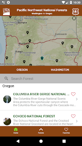
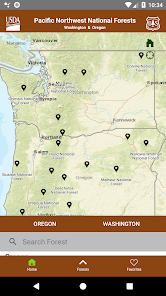
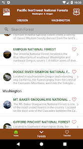
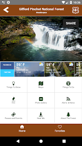
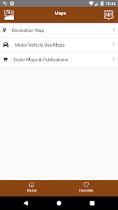
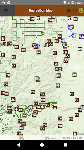
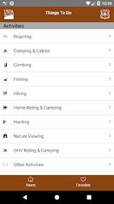
This digital field guide, developed by the Pacific Northwest Region of the USDA Forest Service, streamlines trip planning for visitors to the region's 17 national forests. The application leverages a device's GPS and an interactive mapping interface to help users locate nearby recreational opportunities, including hiking trails, campgrounds, and scenic areas. It aggregates real-time data on trail conditions, road access, and active fire information, serving as a comprehensive planning resource for outdoor activities in Oregon and Washington.
Development & Context
- The news coverage highlights this app was created to meet public demand for mobile-friendly recreation information for the region's 15 million annual visitors.
- It was designed to consolidate data for 17 national forests and one scenic area into a single platform, eliminating the need for multiple downloads.
- Development was driven by internal data showing that nearly half of the Forest Service's website visitors were using mobile devices to access information.
- It was the first regional-scale app of its kind within the agency, intended to improve customer service and visitor access to public lands.
Intended Use & Scope
This application is intended for the general public, including hikers, campers, and tourists planning visits to national forests in Oregon and Washington. Its scope is limited to providing recreational, safety, and logistical information for the specified forests. The content, based on agency updates and news coverage, serves as a planning aid and is not a substitute for official emergency alerts.
App Information
Category
Evidence Profile
Expert-developed at a federal agency
Platforms
Updated
Mar 2026
© 2025 United States Department of Agriculture
Tags
Developer Links
Privacy PolicyPacific NW National Forest
Free