Rockd
Published in academic literature
App Summary
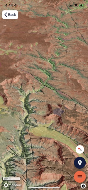
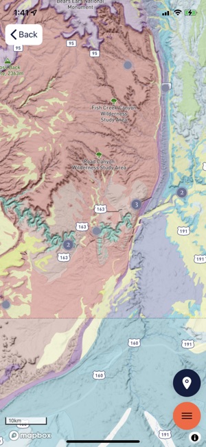
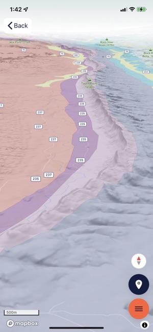
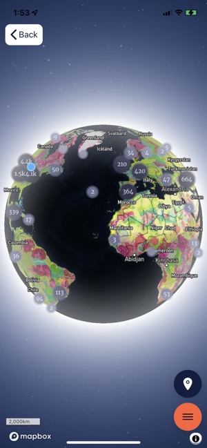
App Screenshots
Detailed Description
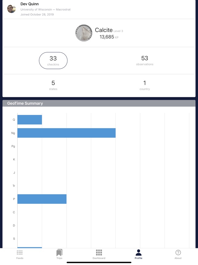
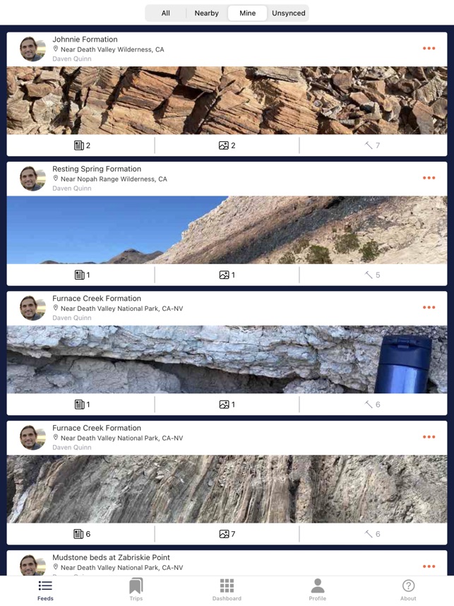
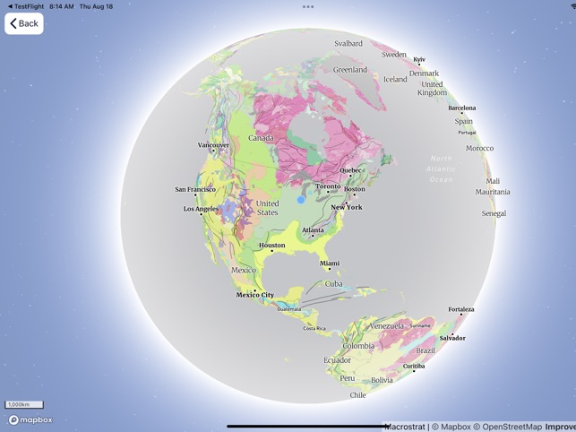
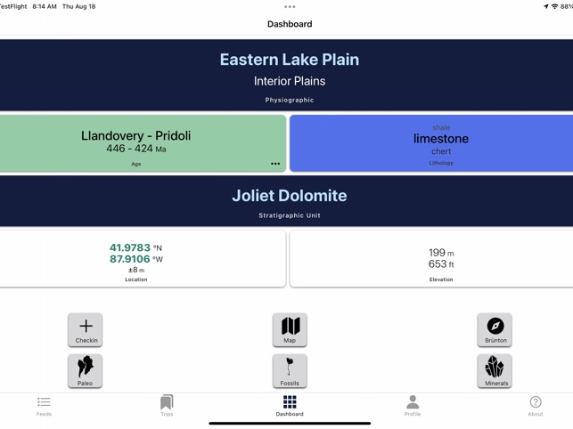
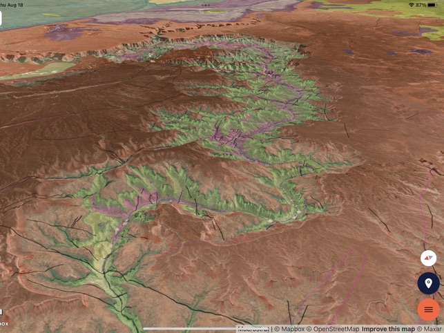
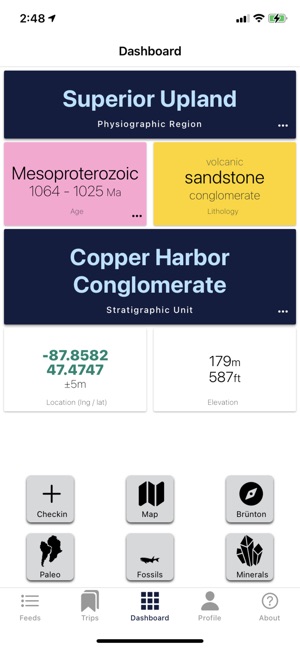
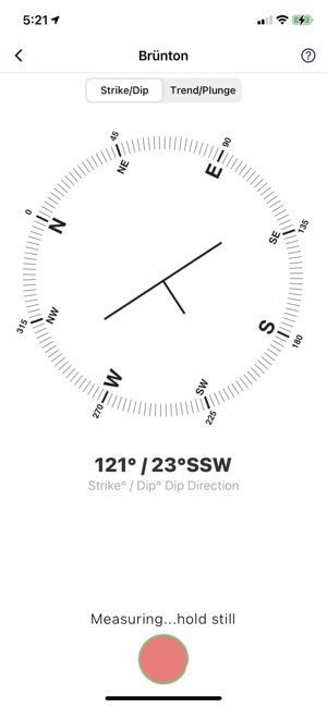
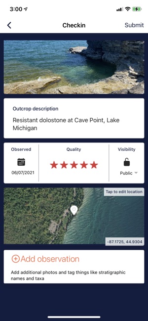
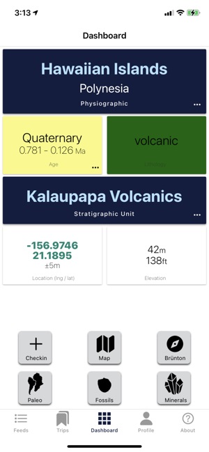
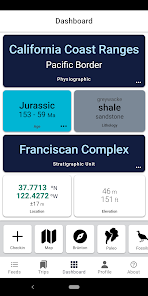
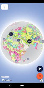
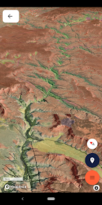
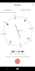
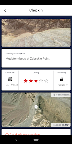
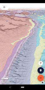
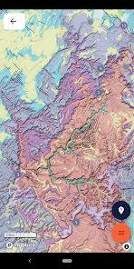
Functionality & Mechanism Developed by the University of Wisconsin-Madison Macrostrat lab, Rockd functions as a mobile interface for the Macrostrat geologic database. The system delivers location-specific geologic summaries and provides interactive access to a global repository of over 290 geologic maps. The interface incorporates a 3D virtual globe and a map caching system for offline field use. A core module facilitates the capture and recording of field observations, including strike/dip measurements, which can be tagged to established databases.
Evidence & Research Context
- The app operates as a mobile client for Macrostrat, a relational geospatial cyberinfrastructure designed for large-scale geological data integration and deep-time Earth crust research.
- Associated research details the underlying database architecture, which synthesizes data from over 200 bedrock geologic map sources across multiple continents.
- The Macrostrat database links these map units to external datasets, including fossil occurrences from the Paleobiology Database and geochemical measurements.
- The integrated platform is designed to enable quantitative spatial and geochronological analyses and serves as a data source for multiple research applications.
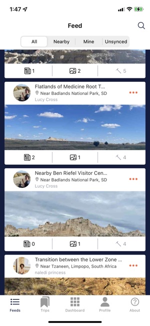
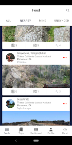
Intended Use & Scope The application is intended for professional geoscientists, educators, students, and the public as an educational and field data collection tool. Its primary utility is for geologic exploration, reference, and contributing observational data to a public database. The system is not designed to replace formal, site-specific geological surveys for engineering or resource extraction purposes.
Studies & Publications
Peer-reviewed research associated with this app.
Macrostrat: A Platform for Geological Data Integration and Deep-Time Earth Crust Research
Peters et al. (2018) · Geochemistry, Geophysics, Geosystems
Referenced in academic literature; no direct evaluation of the appApp Information
Developer
University of Wisconsin-MadisonCategory
Evidence Profile
Published in academic literature
Platforms
Updated
Jun 2026
© 2025 University of Wisconsin-Madison