Rocky Mtn National Forests
Expert-developed at a federal agency
App Summary
App Screenshots
Detailed Description
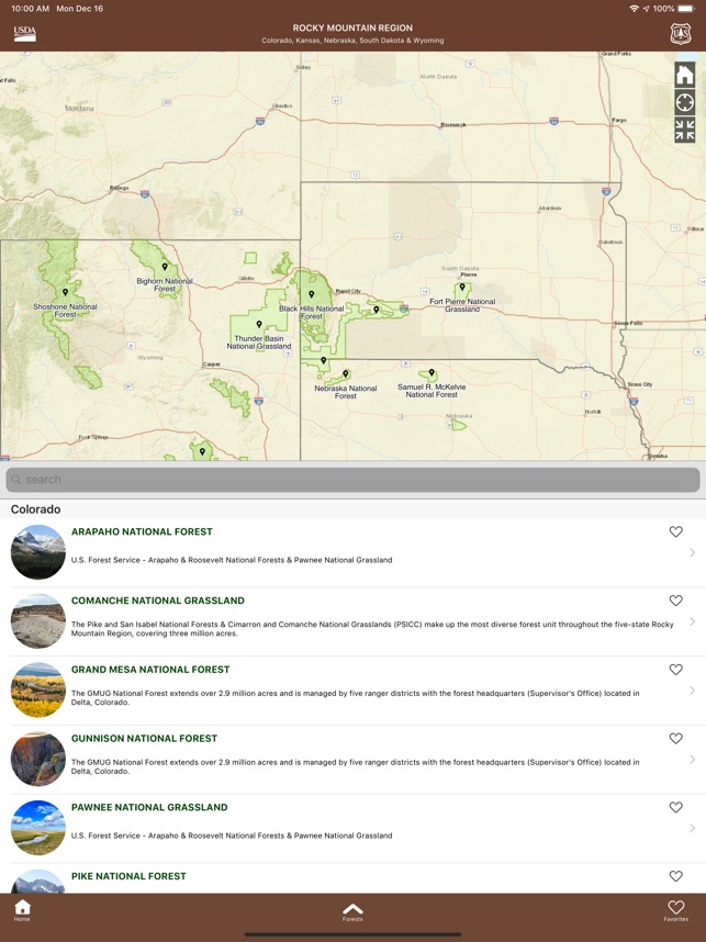
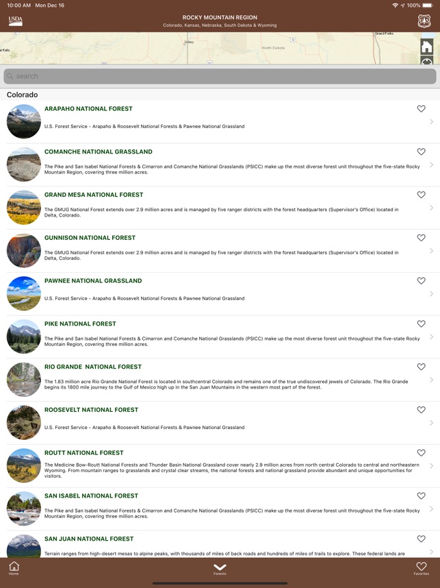
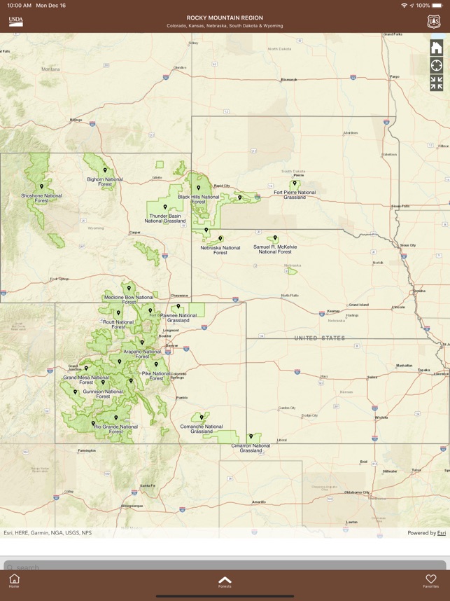
Functionality & Mechanism
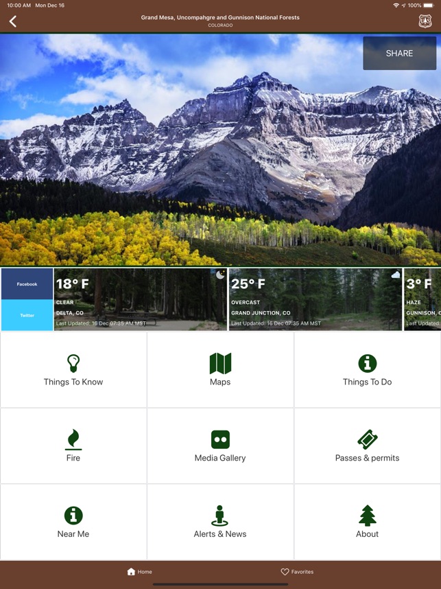
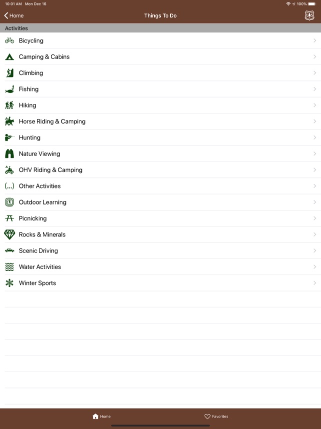
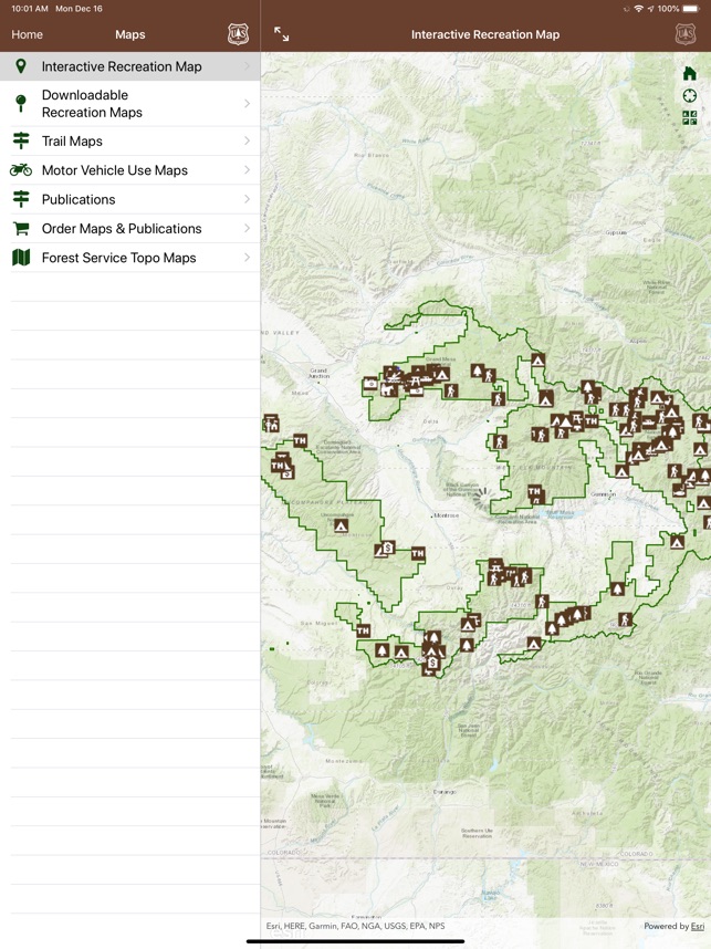
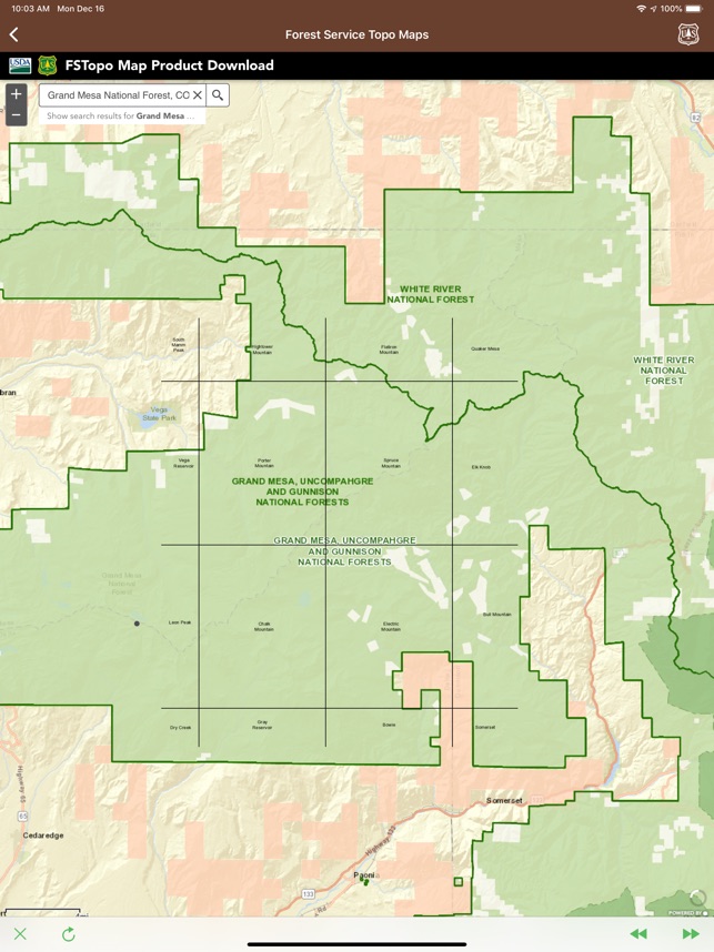
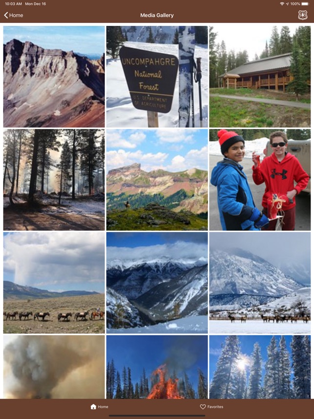
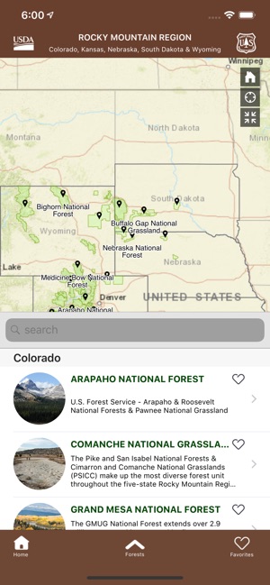
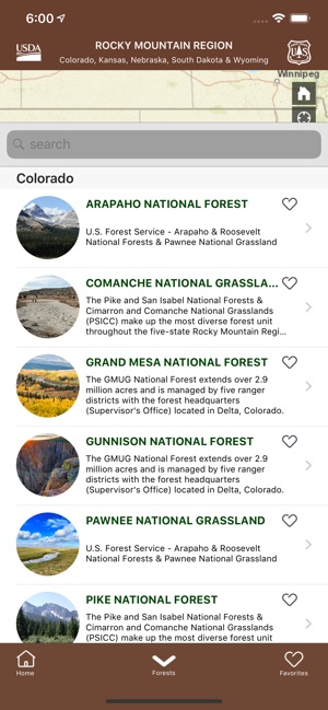
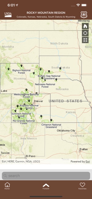
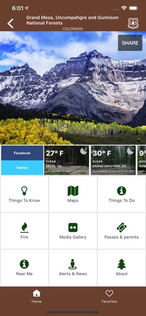
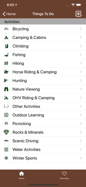
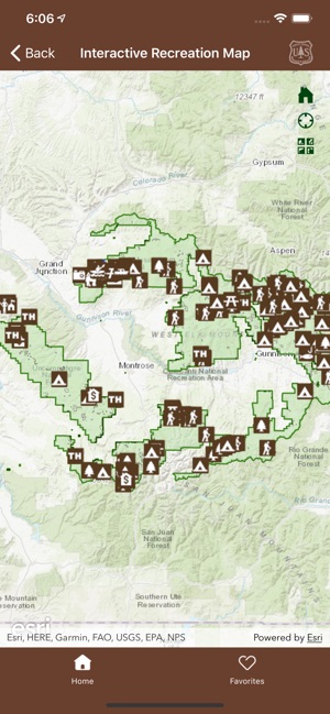
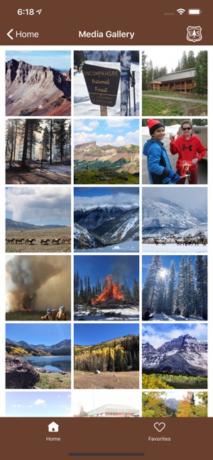
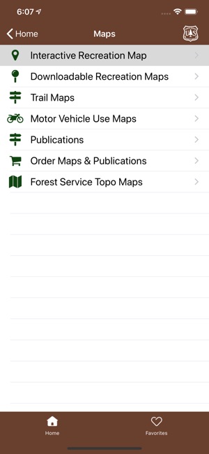
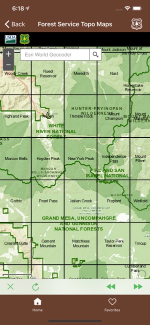
This mobile reference application functions as a geospatial directory for recreational sites across 17 national forests and 7 national grasslands in the Rocky Mountain Region. The system integrates a searchable database with an interactive mapping interface. The platform allows users to query for specific recreational opportunities, such as hiking trails and campgrounds, or geolocate nearby sites. The mapping module visualizes locations, provides written driving directions, and enables the download of detailed maps for offline access. The application also aggregates and displays administrative updates, including current conditions, safety alerts, and contact information for forest offices.
Intended Use & Scope
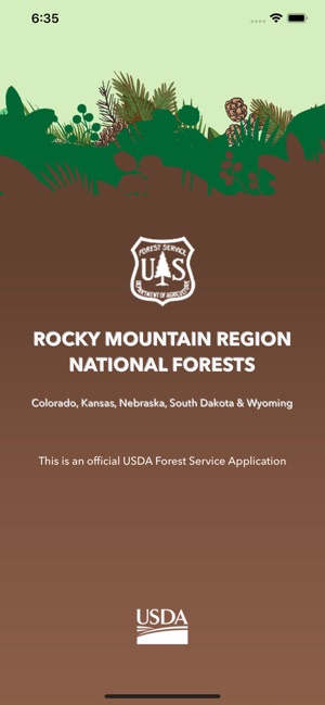
This tool is designed for individuals planning recreational visits to national forests and grasslands within the specified region. Its primary utility is to centralize information discovery and assist with trip planning by providing a resource for locating trails, campgrounds, and other points of interest. The platform disseminates official news and alerts to inform logistical preparations and navigation. Intended for educational or entertainment purposes.
App Information
Category
Evidence Profile
Expert-developed at a federal agency
Platforms
Updated
Mar 2026
© 2025 United States Department of Agriculture
Tags
Developer Links
Privacy PolicyRocky Mtn National Forests
Free