StraboTools
Published in academic literature
App Summary
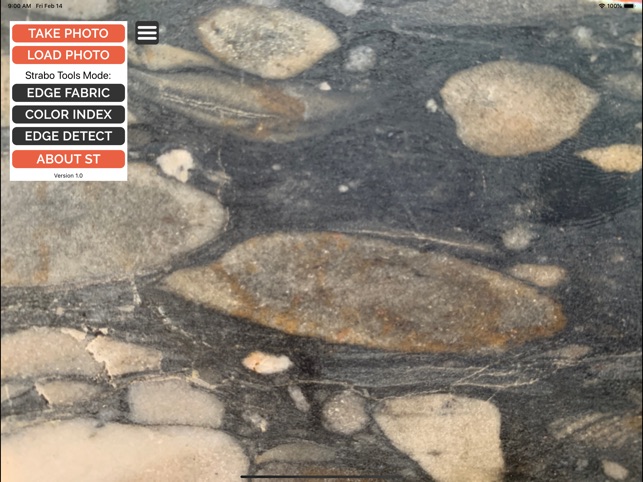
App Screenshots
Detailed Description
Functionality & Mechanism
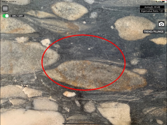
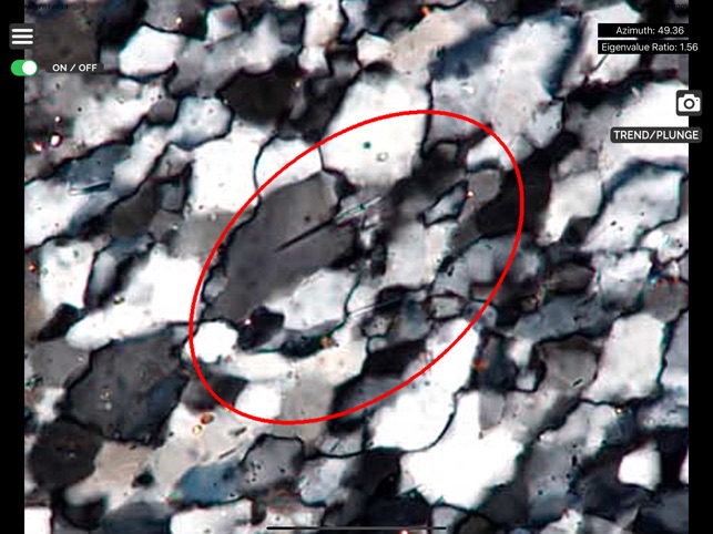
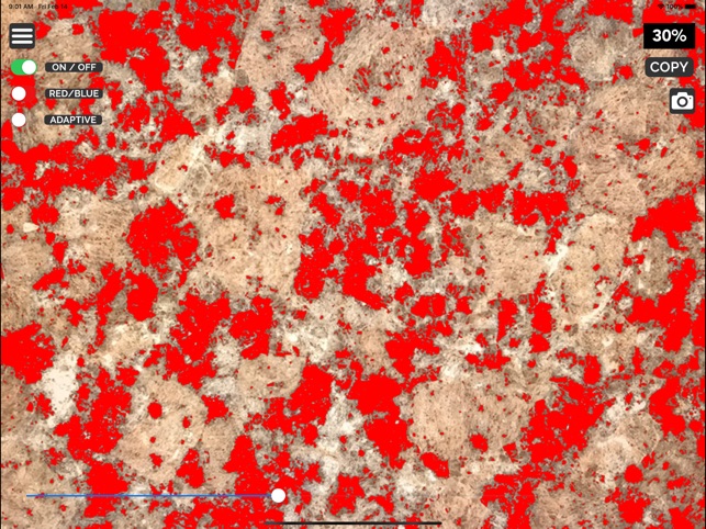
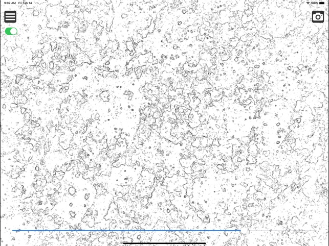
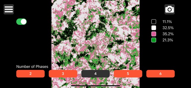
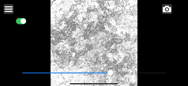
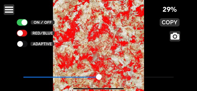
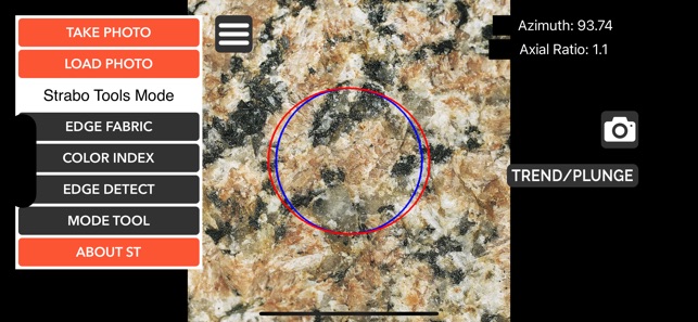
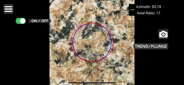
StraboTools facilitates quantitative geological analysis through image processing of field photographs. The system integrates three primary modules: Edge Fabric, Color Index, and Edge Detect. The Edge Fabric tool quantifies rock fabric by plotting an ellipse summarizing brightness gradients, a process completed in approximately five seconds. The Color Index module determines the area percentage of dark minerals by capturing user input via an adjustable grayscale threshold slider, enabling precise compositional estimates directly from outcrop or thin section images.
Evidence & Research Context
- The associated research details the Edge Fabric tool's capacity to quantify subtle deformation fabrics, with the resulting ellipse tracking the strain ellipse in homogeneously deformed materials.
- The Color Index tool is described as a precise and accurate method for determining the area percentage of minerals, which strongly correlates with bulk composition and facilitates field-based mapping of geological zoning.
- The system's methodology is presented as an alternative to subjective visual estimation, designed to improve the reproducibility and shareability of geological field observations.
- The authors note the tool's versatility, with applications extending from field outcrops and plutonic rocks to the analysis of photomicrographs and aerial imagery.
Intended Use & Scope
StraboTools is designed for geologists, researchers, and students requiring objective, quantitative data during fieldwork or petrographic analysis. Its primary utility is as a research tool for quantifying rock fabric and mineral modes from 2D images. The system does not provide direct chemical, mineralogical, or geochronological data and is not a substitute for laboratory-based geochemical analysis.
Studies & Publications
Peer-reviewed research associated with this app.
StraboTools: A Mobile App for Quantifying Fabric in Geology
The Geological Society et al. (2020) · GSA Today
Describes the research-driven development of this appSTRABOTOOLS: MEASURING THINGS IN THE FIELD THAT YOU COULDN'T MEASURE BEFORE
Glazner et al. (2020) · GSA 2020 Connects Online
Describes the research-driven development of this appApp Information
Developer
University of KansasCategory
Evidence Profile
Published in academic literature
Platforms
Updated
Aug 2023
© 2025 University of Kansas
Tags
Developer Links
Privacy PolicyStraboTools
Free