WeatherSats AR
Expert-developed at a federal agency
App Summary
App Screenshots


Detailed Description
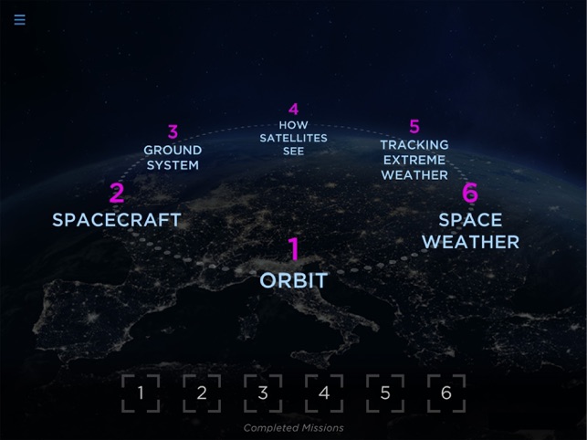
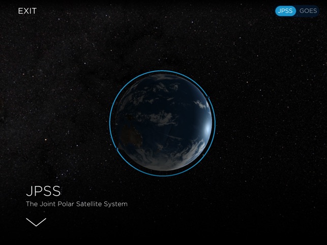
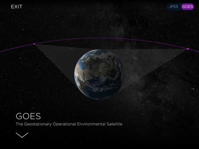
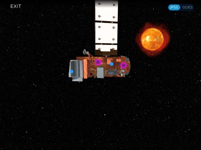
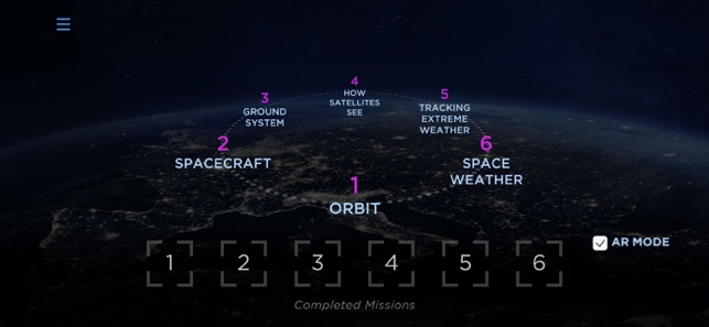
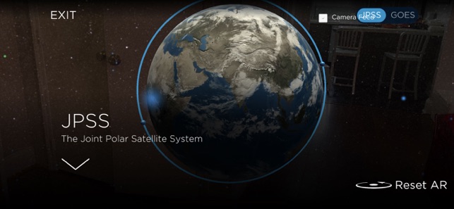
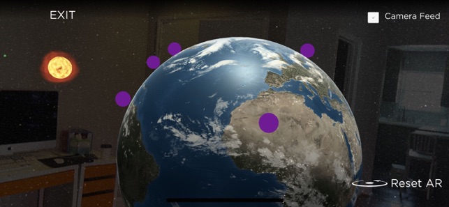
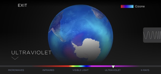
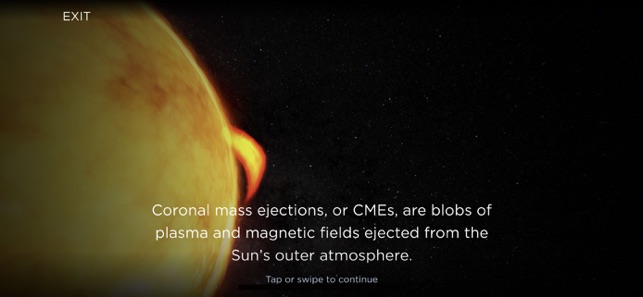
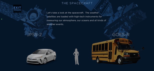
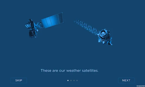
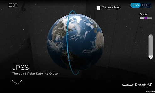
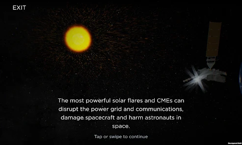
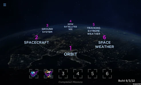
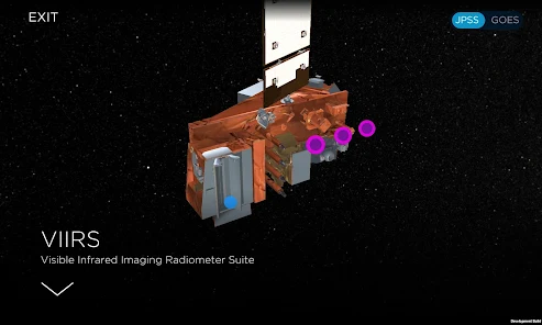
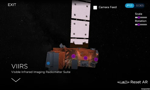
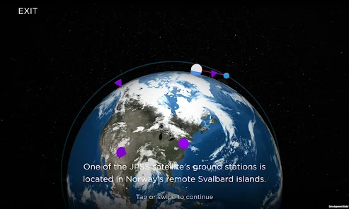
Functionality & Mechanism This augmented reality (AR) educational tool provides an immersive experience for learning about weather and climate monitoring satellites. The application utilizes a mission-based structure to guide users through interactive journeys into space. It visualizes satellites orbiting Earth, their specific instruments, and the process of data transmission to ground stations. The interface facilitates exploration of concepts like the electromagnetic spectrum and the role of satellite data in generating weather forecasts.
Development & Context
- The application is designed as an educational tool for learning about the satellites that monitor extreme weather and climate change.
- The news coverage highlights the app's use of augmented reality to create an immersive, mission-based learning experience for users.
- It demonstrates the complete data journey, from how satellite instruments function in space to how their data informs a personalized forecast.
- The content includes explanations of scientific principles, such as the electromagnetic spectrum, in the context of satellite observation.
Intended Use & Scope This tool is intended for students and the general public as an educational resource on satellite technology and meteorology. Its scope is limited to providing a conceptual understanding of how weather satellites operate and contribute to forecasting. Information is based on public news coverage, not peer-reviewed research.
App Information
Developer
NASACategory
Evidence Profile
Expert-developed at a federal agency
Platforms
Updated
Dec 2025
© 2025 NASA